Earthquake 58 km SSE of King Salmon, Alaska
Sat, 17 Jan 2026 12:31:45 GMT
Time2 hours ago
Location
58.1840, -156.3740
Depth
7.5 KM
Event Summary
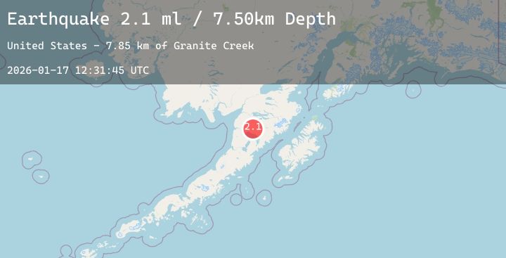
A 2.1 magnitude earthquake struck on 58 km SSE of King Salmon, Alaska, at Sat, 17 Jan 2026 12:31:45 GMT. Depth: 7.5km. Reviewed by USGS seismologists, this minor quake occurred at a magnitude type of ml.
Magnitude
2.1
ml
Source
USGS
Intensity
-
Agency Reports
1 Sources| Source | Magnitude | Depth | Time |
|---|---|---|---|
| USGSPrimary | 2.1 | 8 km | 2 hours ago |
Earthquake Details
AutomaticEvent IDusgs_ak2026beinwl
Tsunami PotentialNo
Magnitude Typeml
Nearest Places
- Granite Creek6.2 km
- Gertrude Creek9.7 km
- Whale Mountain15.6 km
- Takayofo Creek21.6 km
- Contact Creek21.7 km
Comments
Join the discussion about this event.
Latest Earthquakes
2.5Mag
South of Bali, Indonesia
Time2 hours ago
Depth31.57 km
SourceBMKG (Automatic)
1.4Mag
16 km WSW of Johannesburg, CA
Time2 hours ago
Depth7.70 km
SourceUSGS (Automatic)
1.8Mag
31 km NNE of Skwentna, Alaska
Time2 hours ago
Depth68.10 km
SourceUSGS (Automatic)
2.3Mag
ADRIATIC SEA
Time2 hours ago
Depth10.60 km
SourceINGV (Automatic)
4.0Mag
GUERRERO, MEXICO
Time2 hours ago
Depth10.60 km
SourceUNM (Automatic)