Earthquake 83 km NW of Karluk, Alaska
Sat, 17 Jan 2026 02:05:07 GMT
Time1 hour ago
Location
58.1600, -155.3240
Depth
0.8 KM
Event Summary
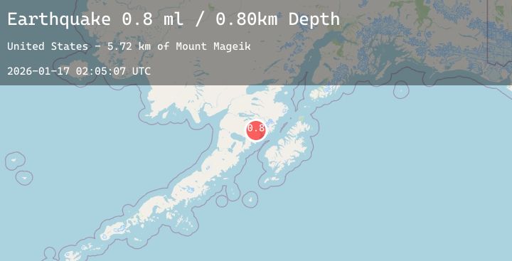
A 0.8 magnitude earthquake struck on 83 km NW of Karluk, Alaska, at Sat, 17 Jan 2026 02:05:07 GMT. Depth: 0.8km. Reviewed by USGS seismologists, this minor quake occurred at a magnitude type of ml.
Magnitude
0.8
ml
Source
USGS
Intensity
-
Agency Reports
1 Sources| Source | Magnitude | Depth | Time |
|---|---|---|---|
| USGSPrimary | 0.8 | 1 km | 1 hour ago |
Earthquake Details
AutomaticEvent IDusgs_ak2026bdntxj
Tsunami PotentialNo
Magnitude Typeml
Nearest Places
- Mount Mageik5.7 km
- Mageik Landslide7.9 km
- Observation Mountain11.4 km
- Mount Cerberus11.9 km
- Katmai Pass11.9 km
Comments
Join the discussion about this event.
Latest Earthquakes
1.0Mag
9 km WNW of The Geysers, CA
Time3 minutes ago
Depth2.36 km
SourceUSGS (Automatic)
2.7Mag
CENTRAL CALIFORNIA
Time23 minutes ago
Depth9.50 km
SourceNC (Automatic)
3.8Mag
AEGEAN SEA
Time24 minutes ago
Depth17.50 km
SourceNOA (Automatic)
1.2Mag
SWITZERLAND
Time27 minutes ago
Depth6.30 km
SourceETHZ (Automatic)
2.2Mag
Northern Sumatra, Indonesia
Time31 minutes ago
Depth28.40 km
SourceBMKG (Automatic)