Earthquake 52 km SSE of Denali National Park, Alaska
Sat, 17 Jan 2026 22:29:55 GMT
Time2 hours ago
Location
63.0900, -151.4150
Depth
0.1 KM
Event Summary
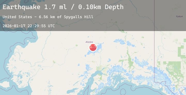
A 1.7 magnitude earthquake struck on 52 km SSE of Denali National Park, Alaska, at Sat, 17 Jan 2026 22:29:55 GMT. Depth: 0.1km. Reviewed by USGS seismologists, this minor quake occurred at a magnitude type of ml.
Magnitude
1.7
ml
Source
USGS
Intensity
-
Agency Reports
1 Sources| Source | Magnitude | Depth | Time |
|---|---|---|---|
| USGSPrimary | 1.7 | 0 km | 2 hours ago |
Earthquake Details
AutomaticEvent IDusgs_ak2026bfcjjb
Tsunami PotentialNo
Magnitude Typeml
Nearest Places
- Spygalls Hill6.6 km
- Foraker Glacier7.6 km
- Straightaway Glacier8.9 km
- Foraker Galcier9.7 km
- Kahiltna Dome9.8 km
Comments
Join the discussion about this event.
Latest Earthquakes
1.3Mag
24 km SSE of Lindsay, Texas
Time3 minutes ago
Depth8.96 km
SourceUSGS (Automatic)
3.2Mag
Northern Sumatra, Indonesia
Time5 minutes ago
Depth161.92 km
SourceBMKG (Automatic)
3.2Mag
ISLAND OF HAWAII, HAWAII
Time17 minutes ago
Depth22.20 km
SourceNEIC (Automatic)
2.6Mag
Java, Indonesia
Time21 minutes ago
Depth75.88 km
SourceBMKG (Automatic)
1.2Mag
5 km S of Parkfield, CA
Time23 minutes ago
Depth5.93 km
SourceUSGS (Automatic)
Nearby Earthquakes
1.8Mag
31 km NNE of Skwentna, Alaska
Time12 hours ago
Depth68.10 km
SourceUSGS (Automatic)
1.8Mag
42 km SE of Denali National Park, Alaska
Time20 hours ago
Depth0.30 km
SourceUSGS (Automatic)
2.0Mag
44 km W of Cantwell, Alaska
Time22 hours ago
Depth101.80 km
SourceUSGS (Automatic)
2.1Mag
14 km W of Petersville, Alaska
Time23 hours ago
Depth72.80 km
SourceUSGS (Automatic)