Earthquake 40 km ESE of Cordova, Alaska
Wed, 21 Jan 2026 21:07:10 GMT
Time5 days ago
Location
60.4380, -145.0510
Depth
27.1 KM
Event Summary
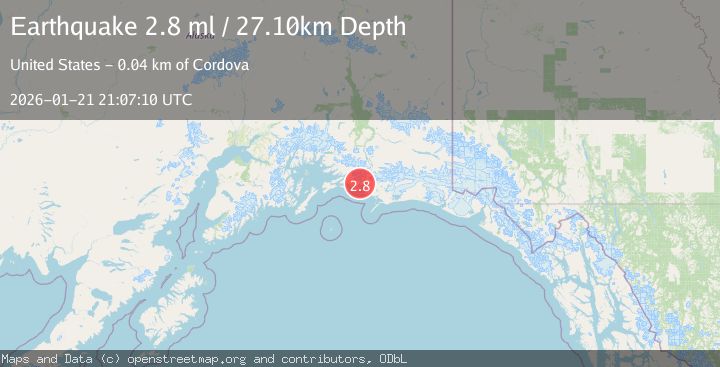
A 2.8 magnitude earthquake struck on 40 km ESE of Cordova, Alaska, at Wed, 21 Jan 2026 21:07:10 GMT. Depth: 27.1km. Reviewed by USGS seismologists, this minor quake occurred at a magnitude type of ml.
Magnitude
2.8
ml
Source
USGS
Intensity
-
Agency Reports
1 Sources| Source | Magnitude | Depth | Time |
|---|---|---|---|
| USGSPrimary | 2.8 | 27 km | 5 days ago |
Earthquake Details
AutomaticEvent IDusgs_ak2026bmimyb
Tsunami PotentialNo
Magnitude Typeml
Nearest Places
- Round Island1.1 km
- Flag Point Channel1.8 km
- Flag Point2.1 km
- Long Island Channel2.2 km
- Copper River Delta5.6 km
Comments
Join the discussion about this event.
Latest Earthquakes
2.0Mag
Southern Sumatra, Indonesia
Time9 minutes ago
Depth75.61 km
SourceBMKG (Automatic)
3.7Mag
Java, Indonesia
Time11 minutes ago
Depth26.88 km
SourceBMKG (Automatic)
1.7Mag
20 km ENE of Arvin, CA
Time12 minutes ago
Depth5.64 km
SourceUSGS (Automatic)
2.7Mag
PAPUA, INDONESIA
Time14 minutes ago
Depth10.00 km
SourceBMKG (Automatic)
2.3Mag
57 km E of Pedro Bay, Alaska
Time18 minutes ago
Depth120.40 km
SourceUSGS (Automatic)
Nearby Earthquakes
2.8Mag
47 km E of Cordova, Alaska
Time6 days ago
Depth16.90 km
SourceUSGS (Automatic)
1.1Mag
112 km E of Cordova, Alaska
Time4 days ago
Depth13.00 km
SourceUSGS (Automatic)
1.1Mag
86 km SSW of McCarthy, Alaska
Time1 day ago
Depth5.00 km
SourceUSGS (Automatic)
2.3Mag
81 km S of Cordova, Alaska
Time4 hours ago
Depth16.20 km
SourceUSGS
1.2Mag
19 km S of Tatitlek, Alaska
Time2 days ago
Depth26.20 km
SourceUSGS (Automatic)