Earthquake 67 km W of Tyonek, Alaska
Thu, 22 Jan 2026 17:17:20 GMT
Time5 days ago
Location
61.0310, -152.3750
Depth
109.9 KM
Event Summary
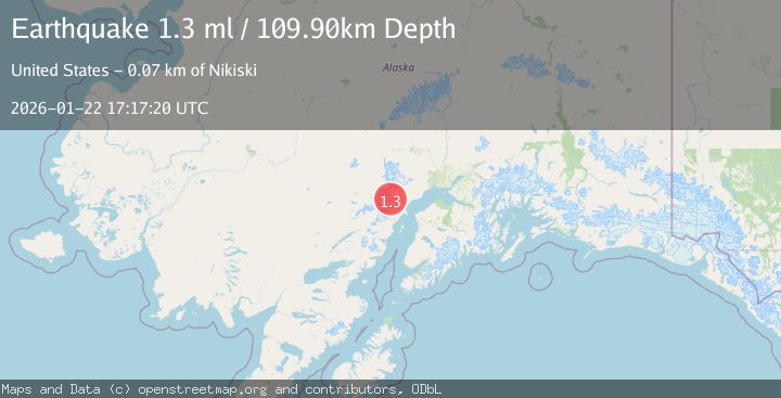
A 1.3 magnitude earthquake struck on 67 km W of Tyonek, Alaska, at Thu, 22 Jan 2026 17:17:20 GMT. Depth: 109.9km. Reviewed by USGS seismologists, this minor quake occurred at a magnitude type of ml.
Magnitude
1.3
ml
Source
USGS
Intensity
-
Agency Reports
1 Sources| Source | Magnitude | Depth | Time |
|---|---|---|---|
| USGSPrimary | 1.3 | 110 km | 5 days ago |
Earthquake Details
AutomaticEvent IDusgs_ak2026bnwqjk
Tsunami PotentialNo
Magnitude Typeml
Nearest Places
- Blockade Glacier5.1 km
- McArthur Glacier9.2 km
- Blockade Lake9.8 km
- Ch'akajabena Mountain14.7 km
- Aleutian Range15.3 km
Comments
Join the discussion about this event.
Latest Earthquakes
2.2Mag
CENTRAL TURKEY
Time10 minutes ago
Depth7.00 km
SourceKOERI (Automatic)
2.1Mag
2 km E of North Pearsall, Texas
Time18 minutes ago
Depth2.98 km
SourceUSGS (Automatic)
1.7Mag
CANARY ISLANDS, SPAIN REGION
Time27 minutes ago
Depth17.70 km
SourceIGN (Automatic)
0.9Mag
10 km SSW of Valle Vista, CA
Time31 minutes ago
Depth15.42 km
SourceUSGS (Automatic)
2.8Mag
Java, Indonesia
Time39 minutes ago
Depth109.39 km
SourceBMKG (Automatic)
Nearby Earthquakes
2.2Mag
60 km W of Tyonek, Alaska
Time4 days ago
Depth113.30 km
SourceUSGS (Automatic)
2.2Mag
56 km W of Tyonek, Alaska
Time3 days ago
Depth110.90 km
SourceUSGS (Automatic)
1.8Mag
66 km WNW of Tyonek, Alaska
Time3 days ago
Depth13.70 km
SourceUSGS (Automatic)
0.8Mag
57 km WNW of Tyonek, Alaska
Time4 days ago
Depth115.90 km
SourceUSGS (Automatic)
3.1Mag
SOUTHERN ALASKA
Time3 days ago
Depth5.00 km
SourceAK (Automatic)