Earthquake 66 km WNW of Tyonek, Alaska
Sat, 24 Jan 2026 03:46:26 GMT
Time3 days ago
Location
61.2260, -152.3300
Depth
13.7 KM
Event Summary
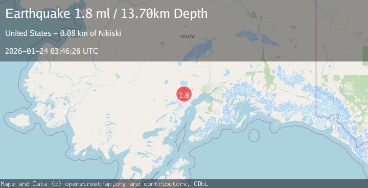
A 1.8 magnitude earthquake struck on 66 km WNW of Tyonek, Alaska, at Sat, 24 Jan 2026 03:46:26 GMT. Depth: 13.7km. Reviewed by USGS seismologists, this minor quake occurred at a magnitude type of ml.
Magnitude
1.8
ml
Source
USGS
Intensity
-
Agency Reports
1 Sources| Source | Magnitude | Depth | Time |
|---|---|---|---|
| USGSPrimary | 1.8 | 14 km | 3 days ago |
Earthquake Details
AutomaticEvent IDusgs_ak2026bqnfjn
Tsunami PotentialNo
Magnitude Typeml
Nearest Places
- Crater Glacier4.6 km
- Aleutian Range6.6 km
- Crater Peak7.0 km
- Nagishlamina River7.3 km
- Barrier Glacier7.7 km
Comments
Join the discussion about this event.
Latest Earthquakes
1.7Mag
18 km E of Ferry, Alaska
Time2 minutes ago
Depth5.00 km
SourceUSGS (Automatic)
2.1Mag
West Papua Region, Indonesia
Time8 minutes ago
Depth10.00 km
SourceBMKG (Automatic)
4.0Mag
SAN JUAN, ARGENTINA
Time8 minutes ago
Depth123.70 km
SourceCSN (Automatic)
4.0Mag
BANDA SEA
Time10 minutes ago
Depth101.00 km
SourceBMKG (Automatic)
1.6Mag
1 km WSW of Pittsburg, CA
Time12 minutes ago
Depth15.89 km
SourceUSGS (Automatic)
Nearby Earthquakes
3.1Mag
SOUTHERN ALASKA
Time3 days ago
Depth5.00 km
SourceAK (Automatic)
2.2Mag
56 km W of Tyonek, Alaska
Time4 days ago
Depth110.90 km
SourceUSGS (Automatic)
0.8Mag
57 km WNW of Tyonek, Alaska
Time4 days ago
Depth115.90 km
SourceUSGS (Automatic)
2.2Mag
60 km W of Tyonek, Alaska
Time4 days ago
Depth113.30 km
SourceUSGS (Automatic)
1.3Mag
67 km W of Tyonek, Alaska
Time5 days ago
Depth109.90 km
SourceUSGS (Automatic)