Earthquake 53 km E of Whittier, Alaska
Tue, 27 Jan 2026 16:12:58 GMT
Time4 hours ago
Location
60.7180, -147.7140
Depth
27.9 KM
Event Summary
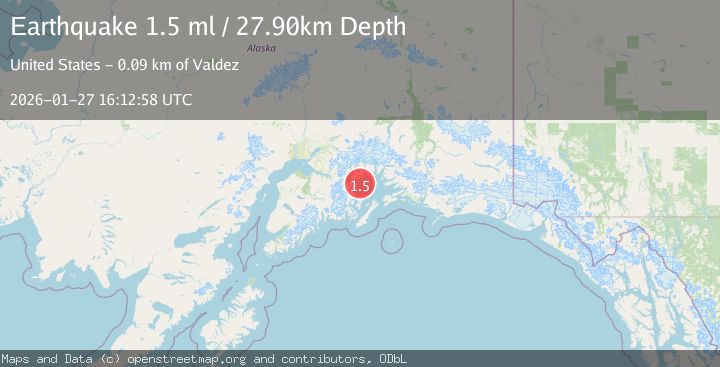
A 1.5 magnitude earthquake struck on 53 km E of Whittier, Alaska, at Tue, 27 Jan 2026 16:12:58 GMT. Depth: 27.9km. Reviewed by USGS seismologists, this minor quake occurred at a magnitude type of ml.
Magnitude
1.5
ml
Source
USGS
Intensity
-
Agency Reports
1 Sources| Source | Magnitude | Depth | Time |
|---|---|---|---|
| USGSPrimary | 1.5 | 28 km | 4 hours ago |
Earthquake Details
AutomaticEvent IDusgs_ak2026bwzdig
Tsunami PotentialNo
Magnitude Typeml
Nearest Places
- Lone Island4.9 km
- South Bay6.2 km
- Lone Passage6.7 km
- Lone Point6.8 km
- Dutch Group6.8 km
Comments
Join the discussion about this event.
Latest Earthquakes
2.0Mag
52 km SSE of Denali National Park, Alaska
Time8 minutes ago
Depth5.00 km
SourceUSGS (Automatic)
1.6Mag
11 km W of Pine Valley, CA
Time10 minutes ago
Depth16.83 km
SourceUSGS (Automatic)
3.5Mag
CRETE, GREECE
Time16 minutes ago
Depth10.00 km
SourceTHE (Automatic)
2.3Mag
6 km ESE of Elgin, South Carolina
Time21 minutes ago
Depth5.00 km
SourceUSGS
1.6Mag
86 km NNW of Karluk, Alaska
Time28 minutes ago
Depth5.00 km
SourceUSGS (Automatic)
Nearby Earthquakes
3.0Mag
SOUTHERN ALASKA
Time2 days ago
Depth19.90 km
SourceAK (Automatic)
1.6Mag
53 km W of Tatitlek, Alaska
Time2 days ago
Depth13.20 km
SourceUSGS (Automatic)
2.2Mag
52 km NNE of Chenega, Alaska
Time15 hours ago
Depth27.90 km
SourceUSGS (Automatic)
1.8Mag
56 km NE of Chenega, Alaska
Time5 days ago
Depth20.90 km
SourceUSGS (Automatic)
3.2Mag
22 km WNW of Tatitlek, Alaska
Time5 days ago
Depth18.30 km
SourceUSGS (Automatic)