Earthquake 83 km NNW of Karluk, Alaska
Wed, 28 Jan 2026 19:32:12 GMT
Time1 hour ago
Location
58.2720, -154.9320
Depth
5.0 KM
Event Summary
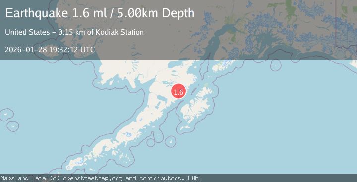
A 1.6 magnitude earthquake struck on 83 km NNW of Karluk, Alaska, at Wed, 28 Jan 2026 19:32:12 GMT. Depth: 5km. Reviewed by USGS seismologists, this minor quake occurred at a magnitude type of ml.
Magnitude
1.6
ml
Source
USGS
Intensity
-
Agency Reports
1 Sources| Source | Magnitude | Depth | Time |
|---|---|---|---|
| USGSPrimary | 1.6 | 5 km | 1 hour ago |
Earthquake Details
AutomaticEvent IDusgs_ak2026bzblws
Tsunami PotentialNo
Magnitude Typeml
Nearest Places
- Mount Katmai1.4 km
- Crater Lake2.8 km
- Noisy Glacier4.0 km
- The Knife Creek Glaciers4.7 km
- The Knife Creek Glacier6.3 km
Comments
Join the discussion about this event.
Latest Earthquakes
2.5Mag
Java, Indonesia
Time14 minutes ago
Depth20.42 km
SourceBMKG (Automatic)
1.4Mag
8 km ESE of Chula Vista, CA
Time28 minutes ago
Depth3.08 km
SourceUSGS (Automatic)
3.0Mag
ICELAND
Time33 minutes ago
Depth0.10 km
SourceIMO (Automatic)
1.1Mag
WESTERN TURKEY
Time41 minutes ago
Depth11.60 km
SourceAFAD (Automatic)
1.2Mag
10 km NW of The Geysers, CA
Time50 minutes ago
Depth1.48 km
SourceUSGS (Automatic)
Nearby Earthquakes
0.8Mag
80 km NNW of Karluk, Alaska
Time9 hours ago
Depth5.00 km
SourceUSGS (Automatic)
3.7Mag
83 km NNW of Karluk, Alaska
Time5 days ago
Depth5.00 km
SourceUSGS (Automatic)
0.9Mag
85 km NNW of Karluk, Alaska
Time5 days ago
Depth5.00 km
SourceUSGS (Automatic)
1.1Mag
84 km NNW of Karluk, Alaska
Time2 days ago
Depth5.00 km
SourceUSGS (Automatic)
0.9Mag
79 km NNW of Karluk, Alaska
Time2 days ago
Depth5.00 km
SourceUSGS (Automatic)