Earthquake 61 km NE of Whittier, Alaska
Thu, 22 Jan 2026 19:04:18 GMT
Time4 days ago
Location
61.1460, -147.8350
Depth
46.7 KM
Event Summary
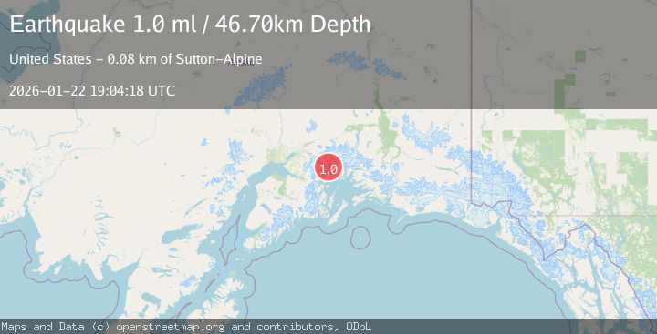
A 1.0 magnitude earthquake struck on 61 km NE of Whittier, Alaska, at Thu, 22 Jan 2026 19:04:18 GMT. Depth: 46.7km. Reviewed by USGS seismologists, this minor quake occurred at a magnitude type of ml.
Magnitude
1.0
ml
Source
USGS
Intensity
-
Agency Reports
1 Sources| Source | Magnitude | Depth | Time |
|---|---|---|---|
| USGSPrimary | 1.0 | 47 km | 4 days ago |
Earthquake Details
AutomaticEvent IDusgs_ak2026boaeon
Tsunami PotentialNo
Magnitude Typeml
Nearest Places
- Coghill Lake5.9 km
- College Fiord6.2 km
- Barnard Glacier6.4 km
- Yale Arm College Fiord7.0 km
- Holyoke Glacier7.1 km
Comments
Join the discussion about this event.
Latest Earthquakes
1.4Mag
41 km NW of Toyah, Texas
Time5 minutes ago
Depth2.74 km
SourceUSGS (Automatic)
2.0Mag
Sumbawa Region, Indonesia
Time9 minutes ago
Depth107.77 km
SourceBMKG (Automatic)
1.7Mag
26 km WNW of Ludlow, CA
Time13 minutes ago
Depth1.36 km
SourceUSGS (Automatic)
3.1Mag
HAITI REGION
Time16 minutes ago
Depth7.00 km
SourceAYIT (Automatic)
2.6Mag
PUERTO RICO
Time22 minutes ago
Depth16.10 km
SourcePR (Automatic)
Nearby Earthquakes
1.6Mag
54 km NE of Whittier, Alaska
Time3 days ago
Depth5.00 km
SourceUSGS (Automatic)
1.5Mag
52 km WNW of Tatitlek, Alaska
Time4 days ago
Depth7.30 km
SourceUSGS (Automatic)
1.3Mag
47 km WNW of Tatitlek, Alaska
Time3 days ago
Depth5.00 km
SourceUSGS (Automatic)
3.5Mag
45 km NW of Tatitlek, Alaska
Time4 hours ago
Depth13.60 km
SourceUSGS (Automatic)
1.6Mag
53 km W of Tatitlek, Alaska
Time2 days ago
Depth13.20 km
SourceUSGS (Automatic)