Earthquake 60 km NNE of Karluk, Alaska
Fri, 30 Jan 2026 18:13:24 GMT
Time1 hour ago
Location
58.0840, -154.1390
Depth
75.3 KM
Event Summary
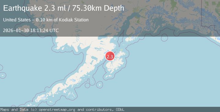
A 2.3 magnitude earthquake struck on 60 km NNE of Karluk, Alaska, at Fri, 30 Jan 2026 18:13:24 GMT. Depth: 75.3km. Reviewed by USGS seismologists, this minor quake occurred at a magnitude type of ml.
Magnitude
2.3
ml
Source
USGS
Intensity
-
Agency Reports
1 Sources| Source | Magnitude | Depth | Time |
|---|---|---|---|
| USGSPrimary | 2.3 | 75 km | 1 hour ago |
Earthquake Details
AutomaticEvent IDusgs_ak2026ccqhub
Tsunami PotentialNo
Magnitude Typeml
Nearest Places
- Cape Kuliak7.3 km
- Cape Atushagvik10.7 km
- Missak Bay10.9 km
- Kuliak Bay11.3 km
- Russian Anchorage13.9 km
Comments
Join the discussion about this event.
Latest Earthquakes
2.5Mag
Near North Coast of Papua New Guinea
Time1 hour ago
Depth13.56 km
SourceBMKG (Automatic)
2.5Mag
Flores Region, Indonesia
Time1 hour ago
Depth158.76 km
SourceBMKG (Automatic)
2.8Mag
SAN JUAN, ARGENTINA
Time1 hour ago
Depth10.00 km
SourceNSNA (Automatic)
3.5Mag
South of Java, Indonesia
Time1 hour ago
Depth10.00 km
SourceBMKG (Automatic)
1.6Mag
2 km W of Garden City, Texas
Time1 hour ago
Depth0.85 km
SourceUSGS (Automatic)
Nearby Earthquakes
2.4Mag
67 km WNW of Aleneva, Alaska
Time1 day ago
Depth71.70 km
SourceUSGS (Automatic)
1.5Mag
61 km N of Karluk, Alaska
Time3 days ago
Depth83.80 km
SourceUSGS (Automatic)
2.1Mag
70 km N of Karluk, Alaska
Time1 day ago
Depth97.30 km
SourceUSGS (Automatic)
1.3Mag
60 km NNW of Karluk, Alaska
Time3 days ago
Depth5.00 km
SourceUSGS (Automatic)
1.7Mag
22 km N of Karluk, Alaska
Time1 week ago
Depth51.40 km
SourceUSGS (Automatic)