Earthquake 57 km WSW of Anchor Point, Alaska
Sun, 01 Feb 2026 02:33:47 GMT
Time2 days ago
Location
59.6520, -152.8160
Depth
96.0 KM
Event Summary
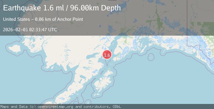
A 1.6 magnitude earthquake struck on 57 km WSW of Anchor Point, Alaska, at Sun, 01 Feb 2026 02:33:47 GMT. Depth: 96km. Reviewed by USGS seismologists, this minor quake occurred at a magnitude type of ml.
Magnitude
1.6
ml
Source
USGS
Intensity
-
Agency Reports
1 Sources| Source | Magnitude | Depth | Time |
|---|---|---|---|
| USGSPrimary | 1.6 | 96 km | 2 days ago |
Earthquake Details
AutomaticEvent IDusgs_ak2026cfcpvf
Tsunami PotentialNo
Magnitude Typeml
Nearest Places
- Chinitna Point14.1 km
- Bow Creek14.2 km
- South Chinitna Mountain18.0 km
- Brown Creek18.0 km
- Dry Bay18.2 km
Comments
Join the discussion about this event.
Latest Earthquakes
2.6Mag
West Papua Region, Indonesia
Time3 minutes ago
Depth33.31 km
SourceBMKG (Automatic)
4.4Mag
SOUTHERN PERU
Time26 minutes ago
Depth196.00 km
SourceLIM (Automatic)
2.0Mag
POLAND
Time31 minutes ago
Depth10.00 km
SourceIGPAS (Automatic)
3.0Mag
South of Java, Indonesia
Time43 minutes ago
Depth5.00 km
SourceBMKG (Automatic)
3.4Mag
OFFSHORE EL SALVADOR
Time44 minutes ago
Depth35.00 km
SourceINET (Automatic)
Nearby Earthquakes
2.1Mag
62 km WSW of Anchor Point, Alaska
Time3 days ago
Depth91.20 km
SourceUSGS
2.0Mag
66 km ESE of Pedro Bay, Alaska
Time1 week ago
Depth95.00 km
SourceUSGS (Automatic)
3.3Mag
SOUTHERN ALASKA
Time2 hours ago
Depth98.60 km
SourceAK (Automatic)
2.4Mag
62 km E of Pedro Bay, Alaska
Time2 days ago
Depth109.10 km
SourceUSGS (Automatic)
2.6Mag
59 km W of Anchor Point, Alaska
Time1 week ago
Depth84.90 km
SourceUSGS (Automatic)