Earthquake 72 km NNE of Petersville, Alaska
Sun, 01 Feb 2026 16:10:38 GMT
Time4 days ago
Location
63.1300, -150.4660
Depth
112.2 KM
Event Summary
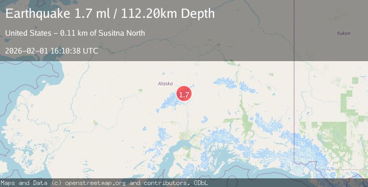
A 1.7 magnitude earthquake struck on 72 km NNE of Petersville, Alaska, at Sun, 01 Feb 2026 16:10:38 GMT. Depth: 112.2km. Reviewed by USGS seismologists, this minor quake occurred at a magnitude type of ml.
Magnitude
1.7
ml
Source
USGS
Intensity
-
Agency Reports
1 Sources| Source | Magnitude | Depth | Time |
|---|---|---|---|
| USGSPrimary | 1.7 | 112 km | 4 days ago |
Earthquake Details
AutomaticEvent IDusgs_ak2026cgdrsa
Tsunami PotentialNo
Magnitude Typeml
Nearest Places
- Mount Deception4.5 km
- Mount Eldridge6.0 km
- Mount Mather7.4 km
- Brooks Glacier7.4 km
- Brooks Gap8.3 km
Comments
Join the discussion about this event.
Latest Earthquakes
1.5Mag
14 km W of Searles Valley, CA
Time8 minutes ago
Depth6.36 km
SourceUSGS (Automatic)
3.8Mag
NEAR COAST OF NORTHERN PERU
Time12 minutes ago
Depth47.00 km
SourceLIM (Automatic)
2.5Mag
26 km ENE of Pleasant Valley, Alaska
Time13 minutes ago
Depth8.50 km
SourceUSGS (Automatic)
2.3Mag
NORTHERN CALIFORNIA
Time19 minutes ago
Depth28.50 km
SourceNC (Automatic)
2.0Mag
ISLAND OF HAWAII, HAWAII
Time21 minutes ago
Depth42.50 km
SourceHV (Automatic)
Nearby Earthquakes
2.3Mag
75 km NNE of Petersville, Alaska
Time1 week ago
Depth113.80 km
SourceUSGS (Automatic)
1.4Mag
69 km SE of Denali National Park, Alaska
Time1 week ago
Depth119.50 km
SourceUSGS (Automatic)
3.0Mag
CENTRAL ALASKA
Time1 week ago
Depth134.50 km
SourceAK (Automatic)
1.6Mag
71 km WSW of Cantwell, Alaska
Time1 week ago
Depth98.90 km
SourceUSGS (Automatic)
1.8Mag
64 km SE of Denali National Park, Alaska
Time1 week ago
Depth133.10 km
SourceUSGS