Earthquake 32 km W of Clear, Alaska
Mon, 02 Feb 2026 01:06:40 GMT
Time23 hours ago
Location
64.2770, -149.8540
Depth
19.9 KM
Event Summary
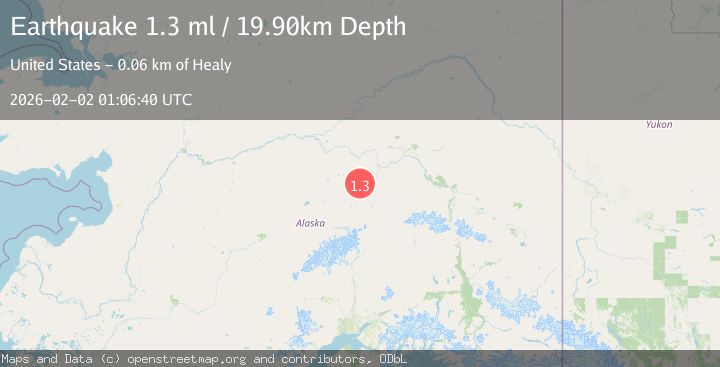
A 1.3 magnitude earthquake struck on 32 km W of Clear, Alaska, at Mon, 02 Feb 2026 01:06:40 GMT. Depth: 19.9km. Reviewed by USGS seismologists, this minor quake occurred at a magnitude type of ml.
Magnitude
1.3
ml
Source
USGS
Intensity
-
Agency Reports
1 Sources| Source | Magnitude | Depth | Time |
|---|---|---|---|
| USGSPrimary | 1.3 | 20 km | 23 hours ago |
Earthquake Details
AutomaticEvent IDusgs_ak2026cgvlqa
Tsunami PotentialNo
Magnitude Typeml
Nearest Places
- Totek Hills3.5 km
- Comma Lake5.6 km
- Fossil Creek9.2 km
- Sushana River14.8 km
- Dune Lake16.2 km
Comments
Join the discussion about this event.
Latest Earthquakes
1.7Mag
44 km NW of Tatitlek, Alaska
Time46 minutes ago
Depth5.00 km
SourceUSGS (Automatic)
2.1Mag
Sumbawa Region, Indonesia
Time46 minutes ago
Depth10.00 km
SourceBMKG (Automatic)
1.8Mag
4 km SE of San Ramon, CA
Time50 minutes ago
Depth6.96 km
SourceUSGS (Automatic)
3.3Mag
Java, Indonesia
Time52 minutes ago
Depth90.20 km
SourceBMKG (Automatic)
4.3Mag
TARAPACA, CHILE
Time53 minutes ago
Depth54.00 km
SourceCSLC (Automatic)
Nearby Earthquakes
1.8Mag
37 km W of Clear, Alaska
Time6 days ago
Depth1.40 km
SourceUSGS (Automatic)
1.4Mag
54 km W of Clear, Alaska
Time1 week ago
Depth2.60 km
SourceUSGS (Automatic)
2.2Mag
13 km NW of Ferry, Alaska
Time1 week ago
Depth139.50 km
SourceUSGS (Automatic)
1.3Mag
12 km SSE of Nenana, Alaska
Time1 week ago
Depth1.80 km
SourceUSGS (Automatic)
0.8Mag
4 km NNW of Four Mile Road, Alaska
Time2 days ago
Depth19.10 km
SourceUSGS (Automatic)