Earthquake 42 km WNW of Valdez, Alaska
Tue, 27 Jan 2026 11:15:12 GMT
Time2 hours ago
Location
61.2360, -147.0990
Depth
9.2 KM
Event Summary
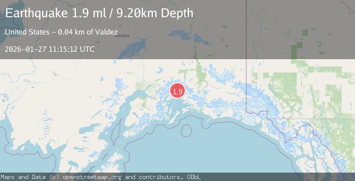
A 1.9 magnitude earthquake struck on 42 km WNW of Valdez, Alaska, at Tue, 27 Jan 2026 11:15:12 GMT. Depth: 9.2km. Reviewed by USGS seismologists, this minor quake occurred at a magnitude type of ml.
Magnitude
1.9
ml
Source
USGS
Intensity
-
Agency Reports
1 Sources| Source | Magnitude | Depth | Time |
|---|---|---|---|
| USGSPrimary | 1.9 | 9 km | 2 hours ago |
Earthquake Details
ConfirmedEvent IDusgs_ak2026bwpgsx
Tsunami PotentialNo
Magnitude Typeml
Nearest Places
- Mount Defiant2.5 km
- Second Branch Columbia Glacier (not official)4.7 km
- Columbia Peak5.6 km
- Mount Michelson8.3 km
- Columbia Glacier10.4 km
Comments
Join the discussion about this event.
Latest Earthquakes
1.4Mag
41 km NW of Toyah, Texas
Time5 minutes ago
Depth2.74 km
SourceUSGS (Automatic)
2.0Mag
Sumbawa Region, Indonesia
Time9 minutes ago
Depth107.77 km
SourceBMKG (Automatic)
1.7Mag
26 km WNW of Ludlow, CA
Time13 minutes ago
Depth1.36 km
SourceUSGS (Automatic)
3.1Mag
HAITI REGION
Time16 minutes ago
Depth7.00 km
SourceAYIT (Automatic)
2.6Mag
PUERTO RICO
Time22 minutes ago
Depth16.10 km
SourcePR (Automatic)
Nearby Earthquakes
1.8Mag
29 km NW of Valdez, Alaska
Time2 days ago
Depth27.00 km
SourceUSGS (Automatic)
3.5Mag
45 km NW of Tatitlek, Alaska
Time4 hours ago
Depth13.60 km
SourceUSGS (Automatic)
1.8Mag
31 km NW of Valdez, Alaska
Time5 days ago
Depth22.60 km
SourceUSGS (Automatic)
1.3Mag
47 km WNW of Tatitlek, Alaska
Time3 days ago
Depth5.00 km
SourceUSGS (Automatic)
1.5Mag
52 km WNW of Tatitlek, Alaska
Time4 days ago
Depth7.30 km
SourceUSGS (Automatic)