Earthquake 12 km NW of Fishhook, Alaska
Wed, 04 Feb 2026 16:11:29 GMT
Time2 hours ago
Location
61.8350, -149.3760
Depth
22.9 KM
Event Summary
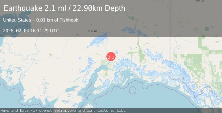
A 2.1 magnitude earthquake struck on 12 km NW of Fishhook, Alaska, at Wed, 04 Feb 2026 16:11:29 GMT. Depth: 22.9km. Reviewed by USGS seismologists, this minor quake occurred at a magnitude type of ml.
Magnitude
2.1
ml
Source
USGS
Intensity
-
Agency Reports
1 Sources| Source | Magnitude | Depth | Time |
|---|---|---|---|
| USGSPrimary | 2.1 | 23 km | 2 hours ago |
Earthquake Details
AutomaticEvent IDusgs_ak2026clqxcc
Tsunami PotentialNo
Magnitude Typeml
Nearest Places
- Dogsled Pass4.3 km
- Marion Twin Mine4.7 km
- Holland Prospect4.8 km
- Schroff-O'Neil Mine4.9 km
- Black Prospect4.9 km
Comments
Join the discussion about this event.
Latest Earthquakes
2.9Mag
Bali Sea
Time2 hours ago
Depth16.06 km
SourceBMKG (Automatic)
2.7Mag
West Papua Region, Indonesia
Time2 hours ago
Depth10.00 km
SourceBMKG (Automatic)
3.2Mag
CRETE, GREECE
Time2 hours ago
Depth10.00 km
SourceTHE (Automatic)
2.4Mag
TURKEY-IRAN BORDER REGION
Time2 hours ago
Depth7.00 km
SourceAFAD (Automatic)
1.7Mag
WESTERN TURKEY
Time2 hours ago
Depth7.20 km
SourceAFAD (Automatic)
Nearby Earthquakes
2.2Mag
14 km N of Fishhook, Alaska
Time14 hours ago
Depth5.20 km
SourceUSGS (Automatic)
2.0Mag
17 km N of Fishhook, Alaska
Time6 days ago
Depth6.40 km
SourceUSGS (Automatic)
2.1Mag
22 km ENE of Willow, Alaska
Time5 days ago
Depth41.80 km
SourceUSGS (Automatic)
2.1Mag
16 km NNW of Meadow Lakes, Alaska
Time21 hours ago
Depth22.60 km
SourceUSGS (Automatic)
2.0Mag
13 km ENE of Willow, Alaska
Time1 week ago
Depth26.90 km
SourceUSGS (Automatic)