Earthquake 28 km N of Four Mile Road, Alaska
Sat, 31 Jan 2026 13:11:47 GMT
Time1 hour ago
Location
64.8590, -149.0220
Depth
8.4 KM
Event Summary
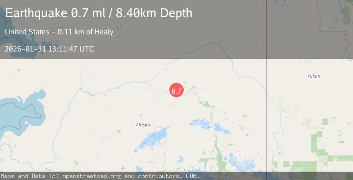
A 0.7 magnitude earthquake struck on 28 km N of Four Mile Road, Alaska, at Sat, 31 Jan 2026 13:11:47 GMT. Depth: 8.4km. Reviewed by USGS seismologists, this minor quake occurred at a magnitude type of ml.
Magnitude
0.7
ml
Source
USGS
Intensity
-
Agency Reports
1 Sources| Source | Magnitude | Depth | Time |
|---|---|---|---|
| USGSPrimary | 0.7 | 8 km | 1 hour ago |
Earthquake Details
AutomaticEvent IDusgs_ak2026cecasi
Tsunami PotentialNo
Magnitude Typeml
Nearest Places
- Wooden Canoe Lake2.3 km
- Big Lake3.5 km
- Bridge Lake3.5 km
- Twentyfour Mile Slough4.2 km
- Gux Neetseel4.7 km
Comments
Join the discussion about this event.
Latest Earthquakes
0.6Mag
11 km S of Idyllwild, CA
Time4 minutes ago
Depth15.10 km
SourceUSGS (Automatic)
2.2Mag
61 km E of Pedro Bay, Alaska
Time10 minutes ago
Depth102.90 km
SourceUSGS (Automatic)
3.3Mag
Southwest of Sumatra, Indonesia
Time15 minutes ago
Depth10.00 km
SourceBMKG (Automatic)
1.5Mag
WESTERN TURKEY
Time20 minutes ago
Depth9.60 km
SourceAFAD (Automatic)
1.3Mag
50 km WNW of Tatitlek, Alaska
Time25 minutes ago
Depth22.00 km
SourceUSGS (Automatic)
Nearby Earthquakes
1.3Mag
20 km NNE of Four Mile Road, Alaska
Time2 days ago
Depth5.00 km
SourceUSGS (Automatic)
1.6Mag
29 km SE of Minto, Alaska
Time5 days ago
Depth23.20 km
SourceUSGS (Automatic)
0.7Mag
22 km NE of Four Mile Road, Alaska
Time4 days ago
Depth28.90 km
SourceUSGS (Automatic)
0.8Mag
14 km NNW of Four Mile Road, Alaska
Time2 days ago
Depth19.30 km
SourceUSGS (Automatic)
0.6Mag
31 km ESE of Minto, Alaska
Time5 days ago
Depth9.80 km
SourceUSGS (Automatic)