Earthquake 48 km ESE of Ugashik, Alaska
Fri, 06 Feb 2026 10:20:31 GMT
Time1 day ago
Location
57.2980, -156.7040
Depth
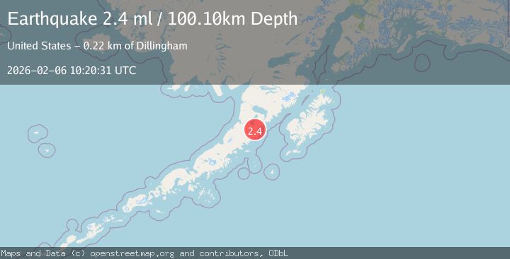
100.1 KM
Event Summary
A 2.4 magnitude earthquake struck on 48 km ESE of Ugashik, Alaska, at Fri, 06 Feb 2026 10:20:31 GMT. Depth: 100.1km. Reviewed by USGS seismologists, this minor quake occurred at a magnitude type of ml.
Magnitude
2.4
ml
Source
USGS
Intensity
-
Agency Reports
1 Sources| Source | Magnitude | Depth | Time |
|---|---|---|---|
| USGSPrimary | 2.4 | 100 km | 1 day ago |
Earthquake Details
AutomaticEvent IDusgs_ak2026cowsjy
Tsunami PotentialNo
Magnitude Typeml
Nearest Places
- Mount Alai4.3 km
- Lone Hill5.1 km
- Kialagvik Creek9.2 km
- Alai Creek10.0 km
- Mount Kalagvik10.9 km
Comments
Join the discussion about this event.
Latest Earthquakes
2.5Mag
ISLAND OF HAWAII, HAWAII
Time6 minutes ago
Depth31.80 km
SourceHV (Automatic)
2.3Mag
Bali Sea
Time8 minutes ago
Depth23.14 km
SourceBMKG (Automatic)
1.5Mag
8 km WNW of Cobb, CA
Time17 minutes ago
Depth2.02 km
SourceUSGS (Automatic)
2.4Mag
Northern Sumatra, Indonesia
Time21 minutes ago
Depth0.00 km
SourceBMKG (Automatic)
1.1Mag
9 km SW of Idyllwild, CA
Time25 minutes ago
Depth18.30 km
SourceUSGS (Automatic)
Nearby Earthquakes
2.3Mag
85 km ESE of Ugashik, Alaska
Time6 hours ago
Depth16.80 km
SourceUSGS (Automatic)
1.8Mag
73 km ENE of Ugashik, Alaska
Time1 day ago
Depth130.20 km
SourceUSGS (Automatic)
2.5Mag
112 km SE of Ugashik, Alaska
Time2 weeks ago
Depth51.20 km
SourceUSGS (Automatic)
1.4Mag
85 km WNW of Karluk, Alaska
Time2 weeks ago
Depth17.30 km
SourceUSGS (Automatic)
3.9Mag
113 km SSE of Ugashik, Alaska
Time2 weeks ago
Depth45.10 km
SourceUSGS