Earthquake 89 km NW of Yakutat, Alaska
Fri, 06 Feb 2026 17:45:46 GMT
Time1 hour ago
Location
60.0280, -141.0130
Depth
17.5 KM
Event Summary
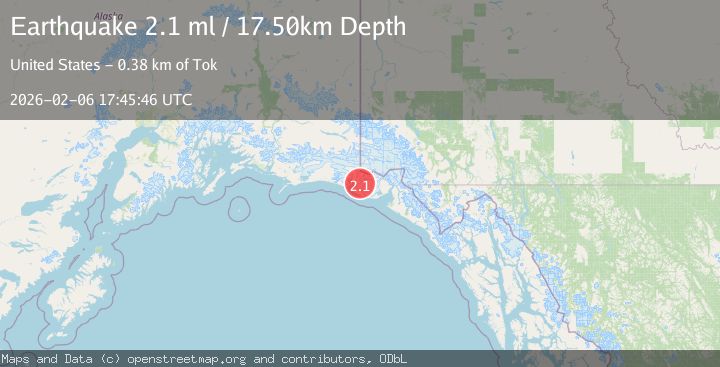
A 2.1 magnitude earthquake struck on 89 km NW of Yakutat, Alaska, at Fri, 06 Feb 2026 17:45:46 GMT. Depth: 17.5km. Reviewed by USGS seismologists, this minor quake occurred at a magnitude type of ml.
Magnitude
2.1
ml
Source
USGS
Intensity
-
Agency Reports
1 Sources| Source | Magnitude | Depth | Time |
|---|---|---|---|
| USGSPrimary | 2.1 | 18 km | 1 hour ago |
Earthquake Details
AutomaticEvent IDusgs_ak2026cplmcm
Tsunami PotentialNo
Magnitude Typeml
Nearest Places
- Crater Lake4.8 km
- Chaix Hills6.3 km
- Moore Nunatak8.3 km
- Lake Caetani9.6 km
- Agassiz Lakes12.1 km
Comments
Join the discussion about this event.
Latest Earthquakes
2.3Mag
16 km S of Salton City, CA
Time1 hour ago
Depth6.45 km
SourceUSGS (Automatic)
2.4Mag
Northern Sumatra, Indonesia
Time1 hour ago
Depth67.73 km
SourceBMKG (Automatic)
3.1Mag
PUERTO RICO REGION
Time1 hour ago
Depth37.60 km
SourcePR (Automatic)
1.1Mag
8 km W of Cobb, CA
Time1 hour ago
Depth1.47 km
SourceUSGS (Automatic)
3.9Mag
CRETE, GREECE
Time1 hour ago
Depth2.40 km
SourceEMSC (Automatic)
Nearby Earthquakes
2.0Mag
89 km NW of Yakutat, Alaska
Time4 hours ago
Depth15.80 km
SourceUSGS (Automatic)
1.9Mag
88 km NW of Yakutat, Alaska
Time6 days ago
Depth17.80 km
SourceUSGS (Automatic)
1.9Mag
88 km WNW of Yakutat, Alaska
Time2 days ago
Depth19.80 km
SourceUSGS (Automatic)
1.6Mag
94 km WNW of Yakutat, Alaska
Time5 days ago
Depth22.60 km
SourceUSGS (Automatic)
2.6Mag
96 km WNW of Yakutat, Alaska
Time2 weeks ago
Depth4.10 km
SourceUSGS (Automatic)