Earthquake 25 km W of Minto, Alaska
Sat, 07 Feb 2026 13:41:36 GMT
Time1 hour ago
Location
65.1260, -149.8800
Depth
13.1 KM
Event Summary
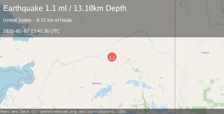
A 1.1 magnitude earthquake struck on 25 km W of Minto, Alaska, at Sat, 07 Feb 2026 13:41:36 GMT. Depth: 13.1km. Reviewed by USGS seismologists, this minor quake occurred at a magnitude type of ml.
Magnitude
1.1
ml
Source
USGS
Intensity
-
Agency Reports
1 Sources| Source | Magnitude | Depth | Time |
|---|---|---|---|
| USGSPrimary | 1.1 | 13 km | 1 hour ago |
Earthquake Details
AutomaticEvent IDusgs_ak2026cqzcoo
Tsunami PotentialNo
Magnitude Typeml
Nearest Places
- Ten Pup7.8 km
- Applegate Creek9.0 km
- Goff Creek9.7 km
- Horse Creek10.2 km
- Alabama Creek10.4 km
Comments
Join the discussion about this event.
Latest Earthquakes
3.0Mag
ANTOFAGASTA, CHILE
Time10 minutes ago
Depth175.70 km
SourceCSN (Automatic)
1.5Mag
EASTERN TURKEY
Time23 minutes ago
Depth7.20 km
SourceAFAD (Automatic)
0.8Mag
8 km NW of The Geysers, CA
Time27 minutes ago
Depth2.05 km
SourceUSGS (Automatic)
2.6Mag
Minahassa Peninsula, Sulawesi
Time31 minutes ago
Depth171.14 km
SourceBMKG (Automatic)
3.0Mag
EASTERN MEDITERRANEAN SEA
Time32 minutes ago
Depth53.20 km
SourceEMSC (Automatic)
Nearby Earthquakes
2.0Mag
22 km W of Minto, Alaska
Time1 day ago
Depth16.70 km
SourceUSGS (Automatic)
1.4Mag
19 km ENE of Minto, Alaska
Time4 days ago
Depth11.00 km
SourceUSGS (Automatic)
1.2Mag
17 km E of Rampart, Alaska
Time6 hours ago
Depth11.40 km
SourceUSGS (Automatic)
2.6Mag
19 km S of Manley Hot Springs, Alaska
Time5 days ago
Depth4.00 km
SourceUSGS (Automatic)
1.2Mag
24 km NE of Minto, Alaska
Time4 days ago
Depth6.60 km
SourceUSGS (Automatic)