Earthquake 62 km W of Tyonek, Alaska
Wed, 04 Feb 2026 14:18:52 GMT
Time2 hours ago
Location
61.0360, -152.2860
Depth
113.7 KM
Event Summary
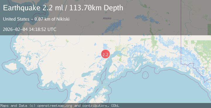
A 2.2 magnitude earthquake struck on 62 km W of Tyonek, Alaska, at Wed, 04 Feb 2026 14:18:52 GMT. Depth: 113.7km. Reviewed by USGS seismologists, this minor quake occurred at a magnitude type of ml.
Magnitude
2.2
ml
Source
USGS
Intensity
-
Agency Reports
1 Sources| Source | Magnitude | Depth | Time |
|---|---|---|---|
| USGSPrimary | 2.2 | 114 km | 2 hours ago |
Earthquake Details
AutomaticEvent IDusgs_ak2026clneax
Tsunami PotentialNo
Magnitude Typeml
Nearest Places
- Blockade Glacier2.7 km
- McArthur Glacier12.0 km
- Blockade Lake13.1 km
- Aleutian Range14.8 km
- Ch'akajabena Mountain15.8 km
Comments
Join the discussion about this event.
Latest Earthquakes
3.1Mag
South of Sumbawa, Indonesia
Time2 hours ago
Depth37.44 km
SourceBMKG (Automatic)
3.0Mag
Northern Sumatra, Indonesia
Time2 hours ago
Depth3.00 km
SourceBMKG (Automatic)
1.9Mag
12 km NNE of Coyanosa, Texas
Time2 hours ago
Depth0.00 km
SourceUSGS (Automatic)
2.3Mag
Southern Sumatra, Indonesia
Time2 hours ago
Depth62.22 km
SourceBMKG (Automatic)
2.4Mag
Sulawesi, Indonesia
Time2 hours ago
Depth2.48 km
SourceBMKG (Automatic)
Nearby Earthquakes
2.2Mag
60 km W of Tyonek, Alaska
Time1 week ago
Depth113.30 km
SourceUSGS (Automatic)
2.5Mag
61 km W of Tyonek, Alaska
Time14 hours ago
Depth117.10 km
SourceUSGS (Automatic)
1.3Mag
67 km W of Tyonek, Alaska
Time1 week ago
Depth109.90 km
SourceUSGS (Automatic)
2.2Mag
56 km W of Tyonek, Alaska
Time1 week ago
Depth110.90 km
SourceUSGS (Automatic)
1.8Mag
66 km WNW of Tyonek, Alaska
Time1 week ago
Depth13.70 km
SourceUSGS (Automatic)