Earthquake 42 km N of Petersville, Alaska
Mon, 09 Feb 2026 14:41:45 GMT
Time1 hour ago
Location
62.8810, -150.7260
Depth
89.3 KM
Event Summary
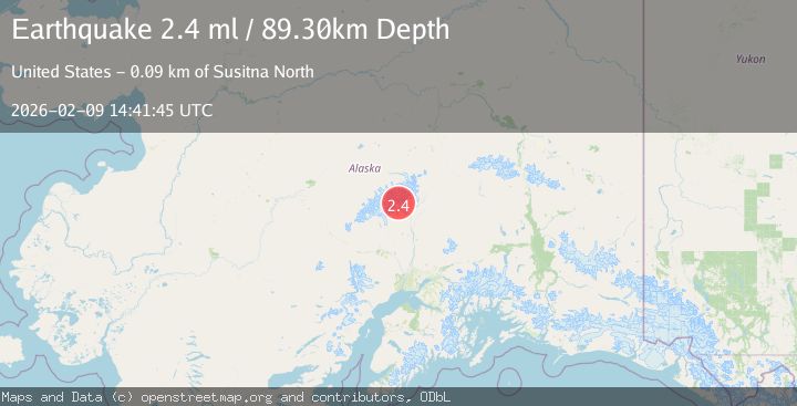
A 2.4 magnitude earthquake struck on 42 km N of Petersville, Alaska, at Mon, 09 Feb 2026 14:41:45 GMT. Depth: 89.3km. Reviewed by USGS seismologists, this minor quake occurred at a magnitude type of ml.
Magnitude
2.4
ml
Source
USGS
Intensity
-
Agency Reports
1 Sources| Source | Magnitude | Depth | Time |
|---|---|---|---|
| USGSPrimary | 2.4 | 89 km | 1 hour ago |
Earthquake Details
AutomaticEvent IDusgs_ak2026cusocy
Tsunami PotentialNo
Magnitude Typeml
Nearest Places
- Mount Church2.2 km
- Ruth Glacier4.3 km
- The Great Gorge5.4 km
- Glacier Point6.8 km
- Mount Dickey7.3 km
Comments
Join the discussion about this event.
Latest Earthquakes
0.7Mag
8 km NW of The Geysers, CA
Time2 minutes ago
Depth2.16 km
SourceUSGS (Automatic)
2.8Mag
Sumbawa Region, Indonesia
Time8 minutes ago
Depth101.39 km
SourceBMKG (Automatic)
2.1Mag
Flores Sea
Time22 minutes ago
Depth36.89 km
SourceBMKG (Automatic)
2.8Mag
ICELAND REGION
Time24 minutes ago
Depth6.30 km
SourceIMO (Automatic)
2.6Mag
Northern Molucca Sea
Time25 minutes ago
Depth10.59 km
SourceBMKG (Automatic)
Nearby Earthquakes
2.2Mag
52 km N of Petersville, Alaska
Time4 hours ago
Depth102.60 km
SourceUSGS (Automatic)
1.9Mag
47 km NNE of Petersville, Alaska
Time3 days ago
Depth88.00 km
SourceUSGS (Automatic)
1.4Mag
54 km N of Petersville, Alaska
Time1 week ago
Depth124.00 km
SourceUSGS (Automatic)
1.7Mag
37 km NNW of Petersville, Alaska
Time5 days ago
Depth91.40 km
SourceUSGS (Automatic)
1.7Mag
57 km N of Petersville, Alaska
Time2 days ago
Depth99.30 km
SourceUSGS (Automatic)