Earthquake 57 km N of Petersville, Alaska
Sat, 07 Feb 2026 06:55:44 GMT
Time1 hour ago
Location
63.0030, -150.5810
Depth
99.3 KM
Event Summary
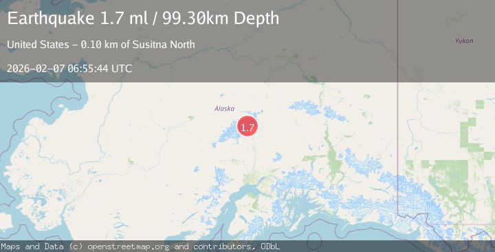
A 1.7 magnitude earthquake struck on 57 km N of Petersville, Alaska, at Sat, 07 Feb 2026 06:55:44 GMT. Depth: 99.3km. Reviewed by USGS seismologists, this minor quake occurred at a magnitude type of ml.
Magnitude
1.7
ml
Source
USGS
Intensity
-
Agency Reports
1 Sources| Source | Magnitude | Depth | Time |
|---|---|---|---|
| USGSPrimary | 1.7 | 99 km | 1 hour ago |
Earthquake Details
AutomaticEvent IDusgs_ak2026cqlqvi
Tsunami PotentialNo
Magnitude Typeml
Nearest Places
- Mooses Tooth4.0 km
- Explorers Peak5.1 km
- Don Sheldon Amphitheater6.0 km
- Buckskin Glacier6.7 km
- The Gateway6.9 km
Comments
Join the discussion about this event.
Latest Earthquakes
1.2Mag
17 km E of Rampart, Alaska
Time10 minutes ago
Depth11.40 km
SourceUSGS (Automatic)
2.7Mag
NEAR COAST OF NICARAGUA
Time20 minutes ago
Depth37.00 km
SourceINET (Automatic)
2.4Mag
Sulawesi, Indonesia
Time22 minutes ago
Depth5.00 km
SourceBMKG (Automatic)
0.4Mag
5 km WSW of Anza, CA
Time26 minutes ago
Depth5.98 km
SourceUSGS (Automatic)
1.6Mag
55 km SSE of King Salmon, Alaska
Time35 minutes ago
Depth5.00 km
SourceUSGS (Automatic)
Nearby Earthquakes
1.9Mag
47 km NNE of Petersville, Alaska
Time1 day ago
Depth88.00 km
SourceUSGS (Automatic)
1.4Mag
54 km N of Petersville, Alaska
Time6 days ago
Depth124.00 km
SourceUSGS (Automatic)
2.1Mag
66 km N of Petersville, Alaska
Time8 hours ago
Depth114.50 km
SourceUSGS (Automatic)
1.7Mag
72 km NNE of Petersville, Alaska
Time5 days ago
Depth112.20 km
SourceUSGS (Automatic)
2.0Mag
64 km N of Petersville, Alaska
Time6 days ago
Depth113.50 km
SourceUSGS (Automatic)