Earthquake 90 km WNW of Yakutat, Alaska
Fri, 13 Feb 2026 14:13:57 GMT
Time5 days ago
Location
59.9930, -141.0670
Depth
16.4 KM
Event Summary
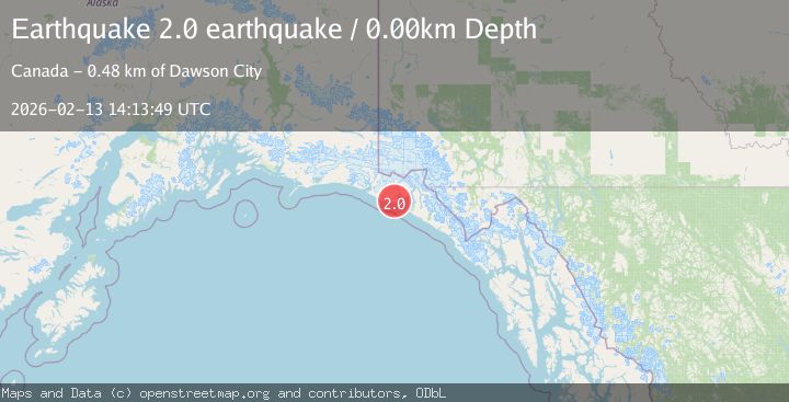
A 2.0 magnitude earthquake struck on 90 km WNW of Yakutat, Alaska, at Fri, 13 Feb 2026 14:13:57 GMT. Depth: 16.4km. Reviewed by USGS seismologists, this minor quake occurred at a magnitude type of ml.
Magnitude
2.0
ml
Source
USGS
Intensity
-
Agency Reports
2 Sources| Source | Magnitude | Depth | Time |
|---|---|---|---|
| USGSPrimary | 2.0 | 16 km | 5 days ago |
| VYT | 2.0 | 0 km | 5 days ago |
Earthquake Details
AutomaticEvent IDusgs_ak2026dcanso
Tsunami PotentialNo
Magnitude Typeml
Nearest Places
- Lake Caetani6.8 km
- Chaix Hills7.7 km
- Crater Lake8.3 km
- Caetani River11.1 km
- Moore Nunatak13.2 km
Comments
Join the discussion about this event.
Latest Earthquakes
0.8Mag
7 km NW of The Geysers, CA
Time4 minutes ago
Depth1.32 km
SourceUSGS (Automatic)
2.5Mag
San Juan, Argentina
Time9 minutes ago
Depth363.53 km
SourceVYT (Automatic)
2.5Mag
Java, Indonesia
Time9 minutes ago
Depth115.43 km
SourceBMKG
3.9Mag
Halmahera, Indonesia
Time11 minutes ago
Depth161.01 km
SourceVYT (Automatic)
1.0Mag
3 km W of Cobb, CA
Time13 minutes ago
Depth2.45 km
SourceUSGS (Automatic)
Nearby Earthquakes
1.8Mag
Southeastern Alaska
Time3 days ago
Depth16.72 km
SourceVYT (Automatic)
2.0Mag
89 km NW of Yakutat, Alaska
Time1 week ago
Depth15.80 km
SourceUSGS (Automatic)
1.9Mag
88 km WNW of Yakutat, Alaska
Time2 weeks ago
Depth19.80 km
SourceUSGS (Automatic)
2.1Mag
89 km NW of Yakutat, Alaska
Time1 week ago
Depth17.50 km
SourceUSGS (Automatic)
1.6Mag
94 km WNW of Yakutat, Alaska
Time2 weeks ago
Depth22.60 km
SourceUSGS (Automatic)