Earthquake 108 km S of McCarthy, Alaska
Fri, 13 Feb 2026 14:42:33 GMT
Time4 days ago
Location
60.4560, -142.9890
Depth
27.5 KM
Event Summary
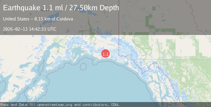
A 1.1 magnitude earthquake struck on 108 km S of McCarthy, Alaska, at Fri, 13 Feb 2026 14:42:33 GMT. Depth: 27.5km. Reviewed by USGS seismologists, this minor quake occurred at a magnitude type of ml.
Magnitude
1.1
ml
Source
USGS
Intensity
-
Agency Reports
1 Sources| Source | Magnitude | Depth | Time |
|---|---|---|---|
| USGSPrimary | 1.1 | 28 km | 4 days ago |
Earthquake Details
AutomaticEvent IDusgs_ak2026dcbmjk
Tsunami PotentialNo
Magnitude Typeml
Nearest Places
- Betge Glacier1.5 km
- Ovtsyn Glacier5.3 km
- Waxell Ridge6.3 km
- Bering Glacier System8.4 km
- Mount Steller9.2 km
Comments
Join the discussion about this event.
Latest Earthquakes
2.6Mag
Antofagasta, Chile
Time1 minute ago
Depth67.26 km
SourceVYT (Automatic)
1.8Mag
northern Alaska
Time3 minutes ago
Depth223.88 km
SourceVYT (Automatic)
3.0Mag
Java, Indonesia
Time4 minutes ago
Depth29.78 km
SourceBMKG
2.4Mag
Finland-Russia border region
Time5 minutes ago
Depth341.92 km
SourceVYT (Automatic)
0.9Mag
8 km W of Cobb, CA
Time10 minutes ago
Depth1.53 km
SourceUSGS (Automatic)
Nearby Earthquakes
1.2Mag
108 km S of McCarthy, Alaska
Time2 weeks ago
Depth8.60 km
SourceUSGS (Automatic)
1.4Mag
108 km S of McCarthy, Alaska
Time1 week ago
Depth17.30 km
SourceUSGS (Automatic)
1.4Mag
104 km S of McCarthy, Alaska
Time2 weeks ago
Depth6.30 km
SourceUSGS (Automatic)
1.8Mag
113 km S of McCarthy, Alaska
Time3 weeks ago
Depth12.10 km
SourceUSGS (Automatic)
1.3Mag
Southern Alaska
Time1 day ago
Depth17.46 km
SourceVYT (Automatic)