Earthquake 104 km S of McCarthy, Alaska
Mon, 02 Feb 2026 11:07:32 GMT
Time9 hours ago
Location
60.4970, -143.0010
Depth
6.3 KM
Event Summary
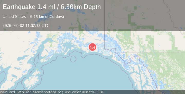
A 1.4 magnitude earthquake struck on 104 km S of McCarthy, Alaska, at Mon, 02 Feb 2026 11:07:32 GMT. Depth: 6.3km. Reviewed by USGS seismologists, this minor quake occurred at a magnitude type of ml.
Magnitude
1.4
ml
Source
USGS
Intensity
-
Agency Reports
1 Sources| Source | Magnitude | Depth | Time |
|---|---|---|---|
| USGSPrimary | 1.4 | 6 km | 9 hours ago |
Earthquake Details
AutomaticEvent IDusgs_ak2026chpjka
Tsunami PotentialNo
Magnitude Typeml
Nearest Places
- Waxell Ridge3.0 km
- Betge Glacier3.2 km
- Mount Steller5.9 km
- Ovtsyn Glacier7.4 km
- Waxell Glacier12.6 km
Comments
Join the discussion about this event.
Latest Earthquakes
2.5Mag
Java, Indonesia
Time1 hour ago
Depth78.16 km
SourceBMKG (Automatic)
2.8Mag
WEST OF AUSTRALIA
Time1 hour ago
Depth10.00 km
SourceAUST (Automatic)
1.2Mag
17 km S of Tres Pinos, CA
Time1 hour ago
Depth6.76 km
SourceUSGS (Automatic)
2.3Mag
Northern Sumatra, Indonesia
Time1 hour ago
Depth35.32 km
SourceBMKG (Automatic)
3.4Mag
LA RIOJA, ARGENTINA
Time1 hour ago
Depth117.00 km
SourceNSNA (Automatic)
Nearby Earthquakes
1.2Mag
108 km S of McCarthy, Alaska
Time6 hours ago
Depth8.60 km
SourceUSGS (Automatic)
1.8Mag
113 km S of McCarthy, Alaska
Time1 week ago
Depth12.10 km
SourceUSGS (Automatic)
1.2Mag
112 km S of McCarthy, Alaska
Time5 days ago
Depth18.20 km
SourceUSGS (Automatic)
1.1Mag
112 km E of Cordova, Alaska
Time1 week ago
Depth13.00 km
SourceUSGS (Automatic)
0.7Mag
100 km SSE of McCarthy, Alaska
Time1 week ago
Depth37.40 km
SourceUSGS (Automatic)