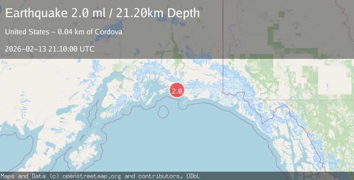
Earthquake 39 km ESE of Cordova, Alaska
Fri, 13 Feb 2026 21:10:00 GMT
Time4 days ago
Location
60.4370, -145.0770
Depth
21.2 KM
Event Summary
A 2.0 magnitude earthquake struck on 39 km ESE of Cordova, Alaska, at Fri, 13 Feb 2026 21:10:00 GMT. Depth: 21.2km. Reviewed by USGS seismologists, this minor quake occurred at a magnitude type of ml.
Magnitude
2.0
ml
Source
USGS
Intensity
-
Agency Reports
1 Sources| Source | Magnitude | Depth | Time |
|---|---|---|---|
| USGSPrimary | 2.0 | 21 km | 4 days ago |
Earthquake Details
AutomaticEvent IDusgs_ak2026dcoifz
Tsunami PotentialNo
Magnitude Typeml
Nearest Places
- Flag Point Channel1.2 km
- Flag Point1.2 km
- Round Island1.3 km
- Long Island Channel2.8 km
- Salmon Creek6.6 km
Comments
Join the discussion about this event.
Latest Earthquakes
2.4Mag
Finland-Russia border region
Time2 minutes ago
Depth341.92 km
SourceVYT (Automatic)
0.9Mag
8 km W of Cobb, CA
Time7 minutes ago
Depth1.53 km
SourceUSGS (Automatic)
1.8Mag
Central Alaska
Time9 minutes ago
Depth2.08 km
SourceVYT (Automatic)
2.9Mag
WESTERN TURKEY
Time12 minutes ago
Depth11.80 km
SourceKOERI (Automatic)
2.8Mag
Sulawesi, Indonesia
Time13 minutes ago
Depth21.08 km
SourceBMKG
Nearby Earthquakes
2.8Mag
40 km ESE of Cordova, Alaska
Time3 weeks ago
Depth27.10 km
SourceUSGS (Automatic)
2.8Mag
47 km E of Cordova, Alaska
Time0 months ago
Depth16.90 km
SourceUSGS (Automatic)
1.9Mag
Southern Alaska
Time11 hours ago
Depth0.00 km
SourceVYT (Automatic)
1.7Mag
Southern Alaska
Time5 hours ago
Depth0.00 km
SourceVYT (Automatic)
2.8Mag
SOUTHERN ALASKA
Time1 month ago
Depth35.00 km
SourceNEIC (Automatic)