Earthquake 56 km E of McCarthy, Alaska
Fri, 06 Feb 2026 17:28:30 GMT
Time1 hour ago
Location
61.3790, -141.8720
Depth
5.0 KM
Event Summary
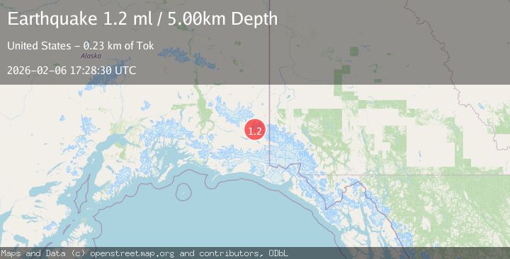
A 1.2 magnitude earthquake struck on 56 km E of McCarthy, Alaska, at Fri, 06 Feb 2026 17:28:30 GMT. Depth: 5km. Reviewed by USGS seismologists, this minor quake occurred at a magnitude type of ml.
Magnitude
1.2
ml
Source
USGS
Intensity
-
Agency Reports
1 Sources| Source | Magnitude | Depth | Time |
|---|---|---|---|
| USGSPrimary | 1.2 | 5 km | 1 hour ago |
Earthquake Details
AutomaticEvent IDusgs_ak2026cpkxez
Tsunami PotentialNo
Magnitude Typeml
Nearest Places
- Aello Peak2.1 km
- The Twaharpies5.6 km
- Ocypete Peak5.6 km
- Mount Bona6.6 km
- Celeno Peak6.8 km
Comments
Join the discussion about this event.
Latest Earthquakes
2.8Mag
Flores Region, Indonesia
Time8 minutes ago
Depth8.94 km
SourceBMKG (Automatic)
2.0Mag
25 km S of Malibu, CA
Time11 minutes ago
Depth5.85 km
SourceUSGS (Automatic)
1.5Mag
7 km WNW of Cobb, CA
Time13 minutes ago
Depth2.20 km
SourceUSGS (Automatic)
2.7Mag
Northern Molucca Sea
Time13 minutes ago
Depth71.71 km
SourceBMKG (Automatic)
2.1Mag
Timor Region
Time15 minutes ago
Depth75.54 km
SourceBMKG (Automatic)
Nearby Earthquakes
1.2Mag
68 km E of McCarthy, Alaska
Time1 week ago
Depth5.00 km
SourceUSGS (Automatic)
1.4Mag
82 km ENE of McCarthy, Alaska
Time5 days ago
Depth12.40 km
SourceUSGS (Automatic)
1.5Mag
83 km ENE of McCarthy, Alaska
Time1 week ago
Depth4.30 km
SourceUSGS (Automatic)
1.2Mag
96 km E of McCarthy, Alaska
Time5 days ago
Depth5.00 km
SourceUSGS (Automatic)
1.5Mag
100 km E of McCarthy, Alaska
Time1 week ago
Depth5.00 km
SourceUSGS (Automatic)