Earthquake 50 km WNW of Tatitlek, Alaska
Sat, 21 Feb 2026 07:49:07 GMT
Time1 hour ago
Location
61.0830, -147.4860
Depth
35.1 KM
Event Summary
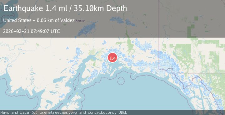
A 1.4 magnitude earthquake struck on 50 km WNW of Tatitlek, Alaska, at Sat, 21 Feb 2026 07:49:07 GMT. Depth: 35.1km. Reviewed by USGS seismologists, this minor quake occurred at a magnitude type of ml.
Magnitude
1.4
ml
Source
USGS
Intensity
-
Agency Reports
1 Sources| Source | Magnitude | Depth | Time |
|---|---|---|---|
| USGSPrimary | 1.4 | 35 km | 1 hour ago |
Earthquake Details
AutomaticEvent IDusgs_aka2026dqfpdp
Tsunami PotentialNo
Magnitude Typeml
Nearest Places
- 1.6 km
- 1.7 km
- 2.3 km
- 5.9 km
- 8.1 km
Comments
Join the discussion about this event.
Latest Earthquakes
2.5Mag
Poland
Time3 minutes ago
Depth7.57 km
SourceVYT (Automatic)
3.7Mag
ANTOFAGASTA, CHILE
Time7 minutes ago
Depth83.60 km
SourceCSN (Automatic)
4.8Mag
Antofagasta, Chile
Time7 minutes ago
Depth189.82 km
SourceVYT (Automatic)
0.8Mag
Fox Islands, Aleutian Islands, Alaska
Time7 minutes ago
Depth0.00 km
SourceVYT (Automatic)
2.7Mag
Antofagasta, Chile
Time16 minutes ago
Depth205.69 km
SourceVYT (Automatic)
Nearby Earthquakes
1.4Mag
50 km WNW of Tatitlek, Alaska
Time2 weeks ago
Depth22.00 km
SourceUSGS (Automatic)
1.5Mag
48 km WNW of Tatitlek, Alaska
Time2 days ago
Depth5.00 km
SourceUSGS (Automatic)
1.3Mag
47 km WNW of Tatitlek, Alaska
Time0 months ago
Depth5.00 km
SourceUSGS (Automatic)
1.5Mag
52 km WNW of Tatitlek, Alaska
Time0 months ago
Depth7.30 km
SourceUSGS (Automatic)
1.3Mag
Southern Alaska
Time1 day ago
Depth16.36 km
SourceVYT (Automatic)