Earthquake 47 km WNW of Tatitlek, Alaska
Sat, 24 Jan 2026 06:13:55 GMT
Time3 days ago
Location
61.0920, -147.4310
Depth
5.0 KM
Event Summary
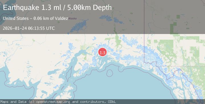
A 1.3 magnitude earthquake struck on 47 km WNW of Tatitlek, Alaska, at Sat, 24 Jan 2026 06:13:55 GMT. Depth: 5km. Reviewed by USGS seismologists, this minor quake occurred at a magnitude type of ml.
Magnitude
1.3
ml
Source
USGS
Intensity
-
Agency Reports
1 Sources| Source | Magnitude | Depth | Time |
|---|---|---|---|
| USGSPrimary | 1.3 | 5 km | 3 days ago |
Earthquake Details
AutomaticEvent IDusgs_ak2026bqsclv
Tsunami PotentialNo
Magnitude Typeml
Nearest Places
- Miners Lake1.5 km
- Miners River3.7 km
- Miners Bay4.2 km
- Brilliant Glacier4.5 km
- Pedro Glacier7.7 km
Comments
Join the discussion about this event.
Latest Earthquakes
2.4Mag
NEVADA
Time7 minutes ago
Depth16.00 km
SourceNN (Automatic)
3.1Mag
Northern Molucca Sea
Time9 minutes ago
Depth31.63 km
SourceBMKG (Automatic)
2.1Mag
SOUTHERN ITALY
Time13 minutes ago
Depth10.00 km
SourceINGV (Automatic)
2.6Mag
Northern Sumatra, Indonesia
Time13 minutes ago
Depth0.60 km
SourceBMKG (Automatic)
2.1Mag
SOUTHERN TEXAS
Time14 minutes ago
Depth0.00 km
SourceTX (Automatic)
Nearby Earthquakes
1.5Mag
52 km WNW of Tatitlek, Alaska
Time4 days ago
Depth7.30 km
SourceUSGS (Automatic)
3.5Mag
45 km NW of Tatitlek, Alaska
Time48 minutes ago
Depth13.60 km
SourceUSGS (Automatic)
1.0Mag
61 km NE of Whittier, Alaska
Time4 days ago
Depth46.70 km
SourceUSGS (Automatic)
1.6Mag
53 km W of Tatitlek, Alaska
Time2 days ago
Depth13.20 km
SourceUSGS (Automatic)
1.8Mag
22 km NW of Tatitlek, Alaska
Time11 hours ago
Depth13.70 km
SourceUSGS