Earthquake 93 km NW of Yakutat, Alaska
Tue, 03 Mar 2026 18:50:03 GMT
Time3 hours ago
Location
60.1390, -140.8980
Depth
40.5 KM
Event Summary
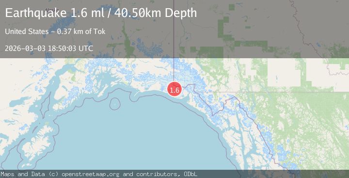
A 1.6 magnitude earthquake struck on 93 km NW of Yakutat, Alaska, at Tue, 03 Mar 2026 18:50:03 GMT. Depth: 40.5km. Reviewed by USGS seismologists, this minor quake occurred at a magnitude type of ml.
Magnitude
1.6
ml
Source
USGS
Intensity
-
Agency Reports
1 Sources| Source | Magnitude | Depth | Time |
|---|---|---|---|
| USGSPrimary | 1.6 | 41 km | 3 hours ago |
Earthquake Details
AutomaticEvent IDusgs_aka2026ejktms
Tsunami PotentialNo
Magnitude Typeml
Nearest Places
- 4.9 km
- 5.5 km
- 6.4 km
- 10.1 km
- 10.7 km
Comments
Join the discussion about this event.
Latest Earthquakes
2.1Mag
British Columbia, Canada
Time3 hours ago
Depth7.45 km
SourceVYT (Automatic)
3.1Mag
Near North Coast of West Papua
Time3 hours ago
Depth10.00 km
SourceBMKG
1.5Mag
Southern Alaska
Time4 hours ago
Depth21.36 km
SourceVYT (Automatic)
2.4Mag
San Juan, Argentina
Time4 hours ago
Depth148.07 km
SourceVYT (Automatic)
2.5Mag
WESTERN TURKEY
Time4 hours ago
Depth6.40 km
SourceAFAD (Automatic)
Nearby Earthquakes
2.0Mag
90 km NW of Yakutat, Alaska
Time3 weeks ago
Depth0.70 km
SourceUSGS (Automatic)
2.0Mag
Southeastern Alaska
Time2 weeks ago
Depth4.15 km
SourceVYT (Automatic)
1.5Mag
97 km NW of Yakutat, Alaska
Time3 weeks ago
Depth1.80 km
SourceUSGS (Automatic)
1.1Mag
Southeastern Alaska
Time2 weeks ago
Depth16.60 km
SourceVYT (Automatic)
2.2Mag
95 km NW of Yakutat, Alaska
Time3 weeks ago
Depth16.90 km
SourceUSGS (Automatic)