Earthquake 90 km NW of Yakutat, Alaska
Tue, 10 Feb 2026 04:27:52 GMT
Time2 hours ago
Location
60.1180, -140.8820
Depth
0.7 KM
Event Summary
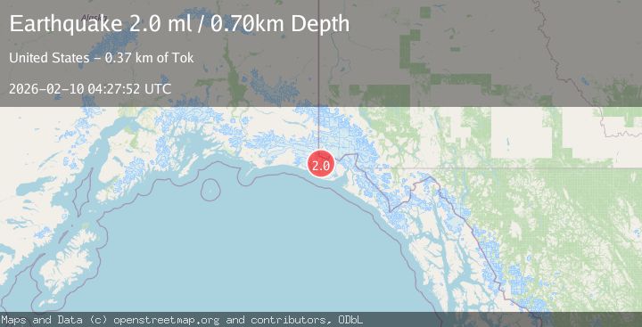
A 2.0 magnitude earthquake struck on 90 km NW of Yakutat, Alaska, at Tue, 10 Feb 2026 04:27:52 GMT. Depth: 0.7km. Reviewed by USGS seismologists, this minor quake occurred at a magnitude type of ml.
Magnitude
2.0
ml
Source
USGS
Intensity
-
Agency Reports
1 Sources| Source | Magnitude | Depth | Time |
|---|---|---|---|
| USGSPrimary | 2.0 | 1 km | 2 hours ago |
Earthquake Details
AutomaticEvent IDusgs_ak2026cvtybe
Tsunami PotentialNo
Magnitude Typeml
Nearest Places
- Moore Nunatak4.3 km
- Agassiz Lakes6.6 km
- Libbey Glacier7.3 km
- Samovar Hills10.5 km
- Agassiz Glacier10.8 km
Comments
Join the discussion about this event.
Latest Earthquakes
2.0Mag
25 km SW of Petersville, Alaska
Time2 hours ago
Depth79.70 km
SourceUSGS (Automatic)
3.6Mag
South of Java, Indonesia
Time2 hours ago
Depth5.00 km
SourceBMKG
2.8Mag
Minahassa Peninsula, Sulawesi
Time2 hours ago
Depth131.14 km
SourceBMKG
2.6Mag
COSTA RICA
Time2 hours ago
Depth10.00 km
SourceINET (Automatic)
4.1Mag
DODECANESE ISLANDS, GREECE
Time2 hours ago
Depth93.60 km
SourceNOA (Automatic)
Nearby Earthquakes
1.5Mag
97 km NW of Yakutat, Alaska
Time2 days ago
Depth1.80 km
SourceUSGS (Automatic)
2.2Mag
95 km NW of Yakutat, Alaska
Time9 hours ago
Depth16.90 km
SourceUSGS (Automatic)
1.9Mag
88 km NW of Yakutat, Alaska
Time1 week ago
Depth17.80 km
SourceUSGS (Automatic)
2.1Mag
89 km NW of Yakutat, Alaska
Time3 days ago
Depth17.50 km
SourceUSGS (Automatic)
1.6Mag
98 km NW of Yakutat, Alaska
Time4 days ago
Depth23.10 km
SourceUSGS (Automatic)