Earthquake 95 km NW of Yakutat, Alaska
Mon, 09 Feb 2026 21:30:21 GMT
Time3 hours ago
Location
60.1240, -140.9980
Depth
16.9 KM
Event Summary
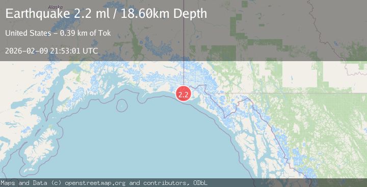
A 2.2 magnitude earthquake struck on 95 km NW of Yakutat, Alaska, at Mon, 09 Feb 2026 21:30:21 GMT. Depth: 16.9km. Reviewed by USGS seismologists, this minor quake occurred at a magnitude type of ml.
Magnitude
2.2
ml
Source
USGS
Intensity
-
Agency Reports
1 Sources| Source | Magnitude | Depth | Time |
|---|---|---|---|
| USGSPrimary | 2.2 | 19 km | 3 hours ago |
Earthquake Details
AutomaticEvent IDusgs_ak2026cvgcgj
Tsunami PotentialNo
Magnitude Typeml
Nearest Places
- Agassiz Lakes1.4 km
- Libbey Glacier6.3 km
- Moore Nunatak6.8 km
- Crater Lake7.0 km
- Hoof Hill8.5 km
Comments
Join the discussion about this event.
Latest Earthquakes
3.2Mag
OFFSHORE COQUIMBO, CHILE
Time8 minutes ago
Depth23.90 km
SourceCSN (Automatic)
3.9Mag
West Papua Region, Indonesia
Time9 minutes ago
Depth20.40 km
SourceBMKG (Automatic)
2.8Mag
ALBANIA
Time12 minutes ago
Depth15.00 km
SourceIGEO (Automatic)
3.3Mag
NORTH ISLAND OF NEW ZEALAND
Time20 minutes ago
Depth17.00 km
SourceGNS (Automatic)
4.5Mag
MORO GULF, MINDANAO, PHILIPPINES
Time21 minutes ago
Depth35.00 km
SourcePIVS (Automatic)
Nearby Earthquakes
1.5Mag
97 km NW of Yakutat, Alaska
Time2 days ago
Depth1.80 km
SourceUSGS (Automatic)
1.9Mag
88 km NW of Yakutat, Alaska
Time1 week ago
Depth17.80 km
SourceUSGS (Automatic)
2.1Mag
89 km NW of Yakutat, Alaska
Time3 days ago
Depth17.50 km
SourceUSGS (Automatic)
2.0Mag
89 km NW of Yakutat, Alaska
Time3 days ago
Depth15.80 km
SourceUSGS (Automatic)
2.2Mag
110 km NW of Yakutat, Alaska
Time2 weeks ago
Depth16.90 km
SourceUSGS (Automatic)