Earthquake 91 km NW of Yakutat, Alaska
Thu, 05 Mar 2026 04:55:39 GMT
Time2 hours ago
Location
60.0280, -141.0460
Depth
5.0 KM
Event Summary
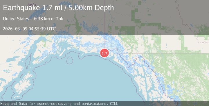
A 1.7 magnitude earthquake struck on 91 km NW of Yakutat, Alaska, at Thu, 05 Mar 2026 04:55:39 GMT. Depth: 5km. Reviewed by USGS seismologists, this minor quake occurred at a magnitude type of ml.
Magnitude
1.7
ml
Source
USGS
Intensity
-
Agency Reports
2 Sources| Source | Magnitude | Depth | Time |
|---|---|---|---|
| USGSPrimary | 1.7 | 5 km | 2 hours ago |
| VYT | 1.5 | 10 km | 2 hours ago |
Earthquake Details
AutomaticEvent IDusgs_aka2026emaoge
Tsunami PotentialNo
Magnitude Typeml
Nearest Places
- 4.3 km
- 4.9 km
- 7.8 km
- 9.6 km
- 12.3 km
Comments
Join the discussion about this event.
Latest Earthquakes
3.3Mag
Antofagasta, Chile
Time2 hours ago
Depth139.77 km
SourceVYT (Automatic)
3.4Mag
Minahassa Peninsula, Sulawesi
Time2 hours ago
Depth10.00 km
SourceBMKG
1.3Mag
6 km WNW of The Geysers, CA
Time2 hours ago
Depth3.02 km
SourceUSGS (Automatic)
1.3Mag
Poland
Time2 hours ago
Depth23.32 km
SourceVYT (Automatic)
2.5Mag
Minahassa Peninsula, Sulawesi
Time2 hours ago
Depth68.64 km
SourceBMKG
Nearby Earthquakes
2.1Mag
89 km NW of Yakutat, Alaska
Time3 weeks ago
Depth17.50 km
SourceUSGS (Automatic)
2.0Mag
89 km NW of Yakutat, Alaska
Time3 weeks ago
Depth15.80 km
SourceUSGS (Automatic)
1.8Mag
Southeastern Alaska
Time2 weeks ago
Depth16.72 km
SourceVYT (Automatic)
2.0Mag
90 km WNW of Yakutat, Alaska
Time2 weeks ago
Depth16.40 km
SourceUSGS (Automatic)
1.9Mag
88 km NW of Yakutat, Alaska
Time1 month ago
Depth17.80 km
SourceUSGS (Automatic)