Earthquake 11 km NW of Aguanga, CA
Fri, 23 Jan 2026 23:25:58 GMT
Time4 days ago
Location
33.5125, -116.9492
Depth
2.9 KM
Event Summary
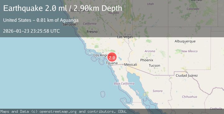
A 2.0 magnitude earthquake struck on 11 km NW of Aguanga, CA, at Fri, 23 Jan 2026 23:25:58 GMT. Depth: 2.89km. Reviewed by USGS seismologists, this minor quake occurred at a magnitude type of ml.
Magnitude
2.0
ml
Source
USGS
Intensity
-
Agency Reports
2 Sources| Source | Magnitude | Depth | Time |
|---|---|---|---|
| USGSPrimary | 2.0 | 3 km | 4 days ago |
| SCSN | 2.0 | 3 km | 4 days ago |
Earthquake Details
AutomaticEvent IDusgs_ci41170255
Tsunami PotentialNo
Magnitude Typeml
Nearest Places
- Rocky Ridge2.0 km
- Spring Creek2.1 km
- Oak Mountain2.6 km
- Wilson Creek2.7 km
- Black Hills2.7 km
Comments
Join the discussion about this event.
Latest Earthquakes
2.9Mag
Minahassa Peninsula, Sulawesi
Time7 hours ago
Depth194.17 km
SourceBMKG (Automatic)
3.9Mag
ECUADOR
Time7 hours ago
Depth211.00 km
SourceQUI (Automatic)
4.6Mag
IONIAN SEA
Time7 hours ago
Depth9.70 km
SourceNOA (Automatic)
2.7Mag
DODECANESE ISLANDS, GREECE
Time7 hours ago
Depth8.00 km
SourceTHE (Automatic)
1.7Mag
24 km W of Mentone, Texas
Time7 hours ago
Depth0.00 km
SourceUSGS (Automatic)
Nearby Earthquakes
1.0Mag
8 km ESE of Temecula, CA
Time1 day ago
Depth10.23 km
SourceUSGS (Automatic)
1.0Mag
6 km WSW of Anza, CA
Time20 hours ago
Depth4.44 km
SourceUSGS (Automatic)
1.9Mag
5 km WSW of Anza, CA
Time1 day ago
Depth7.14 km
SourceUSGS (Automatic)
1.3Mag
11 km NW of Anza, CA
Time2 days ago
Depth18.86 km
SourceUSGS (Automatic)
1.1Mag
7 km SE of Valle Vista, CA
Time10 hours ago
Depth15.56 km
SourceUSGS (Automatic)