Earthquake 18 km SSW of Lamont, CA
Wed, 28 Jan 2026 08:09:22 GMT
Time1 hour ago
Location
35.1240, -119.0182
Depth
9.9 KM
Event Summary
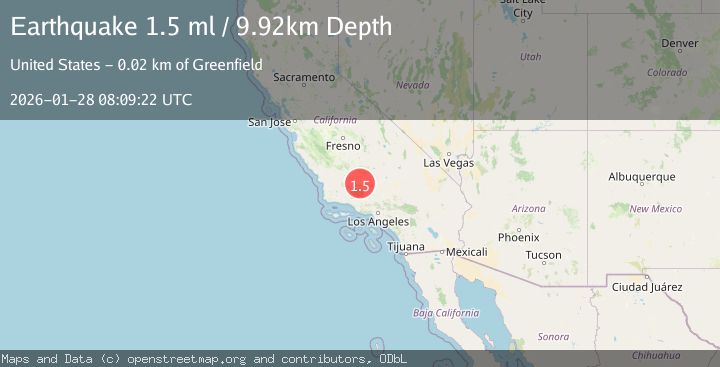
A 1.5 magnitude earthquake struck on 18 km SSW of Lamont, CA, at Wed, 28 Jan 2026 08:09:22 GMT. Depth: 9.92000007629395km. Reviewed by USGS seismologists, this minor quake occurred at a magnitude type of ml.
Magnitude
1.5
ml
Source
USGS
Intensity
-
Agency Reports
1 Sources| Source | Magnitude | Depth | Time |
|---|---|---|---|
| USGSPrimary | 1.5 | 10 km | 1 hour ago |
Earthquake Details
AutomaticEvent IDusgs_ci41174663
Tsunami PotentialNo
Magnitude Typeml
Nearest Places
- Shafter Migratory School (historical)3.1 km
- Tecuya Creek3.3 km
- Panama Migratory School (historical)3.5 km
- New Rim Ditch3.9 km
- Kern Lake Bed4.9 km
Comments
Join the discussion about this event.
Latest Earthquakes
2.5Mag
37 km WSW of Anchor Point, Alaska
Time15 minutes ago
Depth93.10 km
SourceUSGS (Automatic)
1.4Mag
13 km WSW of Stanton, Texas
Time21 minutes ago
Depth4.08 km
SourceUSGS (Automatic)
2.8Mag
Seram, Indonesia
Time21 minutes ago
Depth10.00 km
SourceBMKG (Automatic)
2.8Mag
Java, Indonesia
Time25 minutes ago
Depth14.05 km
SourceBMKG (Automatic)
3.1Mag
SAN JUAN, ARGENTINA
Time25 minutes ago
Depth104.00 km
SourceNSNA (Automatic)
Nearby Earthquakes
1.6Mag
15 km ESE of Maricopa, CA
Time2 hours ago
Depth0.42 km
SourceUSGS (Automatic)
1.7Mag
20 km ENE of Arvin, CA
Time18 hours ago
Depth5.64 km
SourceUSGS (Automatic)
1.9Mag
19 km NW of Tehachapi, CA
Time3 days ago
Depth3.26 km
SourceUSGS (Automatic)
1.8Mag
14 km S of Frazier Park, CA
Time4 days ago
Depth15.39 km
SourceUSGS (Automatic)
1.3Mag
25 km WSW of Maricopa, CA
Time1 day ago
Depth2.92 km
SourceUSGS (Automatic)