Earthquake 17 km NNE of Ridgecrest, CA
Fri, 30 Jan 2026 06:06:15 GMT
Time1 hour ago
Location
35.7582, -117.6048
Depth
8.4 KM
Event Summary
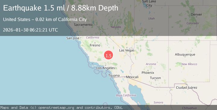
A 1.5 magnitude earthquake struck on 17 km NNE of Ridgecrest, CA, at Fri, 30 Jan 2026 06:06:15 GMT. Depth: 8.41km. Reviewed by USGS seismologists, this minor quake occurred at a magnitude type of ml.
Magnitude
1.5
ml
Source
USGS
Intensity
-
Agency Reports
1 Sources| Source | Magnitude | Depth | Time |
|---|---|---|---|
| USGSPrimary | 1.5 | 9 km | 1 hour ago |
Earthquake Details
AutomaticEvent IDusgs_ci41176143
Tsunami PotentialNo
Magnitude Typeml
Nearest Places
- China Lake3.9 km
- Paxton Ranch4.9 km
- Burro Canyon5.2 km
- Kennedy Viewing Stands5.7 km
- Burro Canyon Test Facility6.0 km
Comments
Join the discussion about this event.
Latest Earthquakes
1.5Mag
15 km W of Johannesburg, CA
Time5 minutes ago
Depth2.15 km
SourceUSGS (Automatic)
2.8Mag
CENTRAL TURKEY
Time7 minutes ago
Depth14.20 km
SourceKOERI (Automatic)
1.8Mag
39 km E of Lee Vining, CA
Time12 minutes ago
Depth2.20 km
SourceUSGS (Automatic)
2.4Mag
Minahassa Peninsula, Sulawesi
Time14 minutes ago
Depth20.22 km
SourceBMKG (Automatic)
1.6Mag
39 km NW of Beatty, Nevada
Time20 minutes ago
Depth4.18 km
SourceUSGS (Automatic)
Nearby Earthquakes
0.6Mag
19 km NNE of Ridgecrest, CA
Time5 days ago
Depth8.30 km
SourceUSGS (Automatic)
1.7Mag
15 km WSW of Searles Valley, CA
Time4 days ago
Depth4.02 km
SourceUSGS (Automatic)
1.3Mag
Central California
Time1 week ago
Depth8.95 km
SourceUSGS (Automatic)
1.2Mag
13 km WNW of Searles Valley, CA
Time2 days ago
Depth-0.10 km
SourceUSGS (Automatic)
1.3Mag
15 km NE of Ridgecrest, CA
Time4 days ago
Depth10.03 km
SourceUSGS (Automatic)