Earthquake 39 km E of Lee Vining, CA
Fri, 30 Jan 2026 07:31:34 GMT
Time1 hour ago
Location
37.9660, -118.6710
Depth
2.2 KM
Event Summary
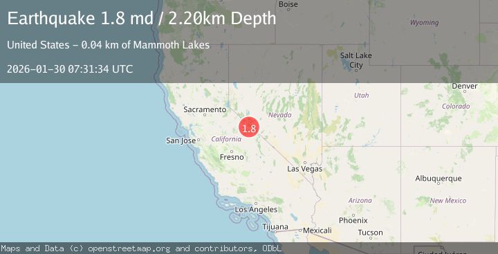
A 1.8 magnitude earthquake struck on 39 km E of Lee Vining, CA, at Fri, 30 Jan 2026 07:31:34 GMT. Depth: 2.20000004768372km. Reviewed by USGS seismologists, this minor quake occurred at a magnitude type of md.
Magnitude
1.8
md
Source
USGS
Intensity
-
Agency Reports
1 Sources| Source | Magnitude | Depth | Time |
|---|---|---|---|
| USGSPrimary | 1.8 | 2 km | 1 hour ago |
Earthquake Details
AutomaticEvent IDusgs_nc75304096
Tsunami PotentialNo
Magnitude Typemd
Nearest Places
- Adobe Lake2.7 km
- Adobe Ranch (historical)2.8 km
- Adobe Creek3.2 km
- Adobe Ranch3.4 km
- Adobe Hills3.6 km
Comments
Join the discussion about this event.
Latest Earthquakes
2.6Mag
Java, Indonesia
Time4 minutes ago
Depth10.00 km
SourceBMKG (Automatic)
2.5Mag
South of Bali, Indonesia
Time13 minutes ago
Depth37.73 km
SourceBMKG (Automatic)
3.2Mag
Southwest of Sumatra, Indonesia
Time15 minutes ago
Depth26.83 km
SourceBMKG (Automatic)
0.8Mag
17 km NE of Pine Valley, CA
Time19 minutes ago
Depth4.90 km
SourceUSGS (Automatic)
3.2Mag
Near North Coast of West Papua
Time31 minutes ago
Depth10.00 km
SourceBMKG (Automatic)
Nearby Earthquakes
1.5Mag
26 km E of Bridgeport, California
Time2 days ago
Depth11.74 km
SourceUSGS (Automatic)
1.4Mag
11 km W of Toms Place, CA
Time5 days ago
Depth1.29 km
SourceUSGS (Automatic)
3.4Mag
NEVADA
Time5 days ago
Depth13.30 km
SourceNN (Automatic)
1.4Mag
13 km SE of Mammoth Lakes, CA
Time5 days ago
Depth4.21 km
SourceUSGS (Automatic)
1.6Mag
18 km SW of Mina, Nevada
Time10 hours ago
Depth2.83 km
SourceUSGS (Automatic)