Earthquake 14 km WSW of Mojave, CA
Fri, 30 Jan 2026 19:55:38 GMT
Time1 hour ago
Location
35.0130, -118.3208
Depth
8.0 KM
Event Summary
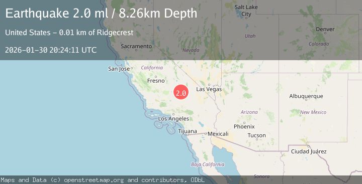
A 2.0 magnitude earthquake struck on 14 km WSW of Mojave, CA, at Fri, 30 Jan 2026 19:55:38 GMT. Depth: 7.98999977111816km. Reviewed by USGS seismologists, this minor quake occurred at a magnitude type of ml.
Magnitude
2.0
ml
Source
USGS
Intensity
-
Agency Reports
1 Sources| Source | Magnitude | Depth | Time |
|---|---|---|---|
| USGSPrimary | 2.0 | 8 km | 1 hour ago |
Earthquake Details
AutomaticEvent IDusgs_ci41176559
Tsunami PotentialNo
Magnitude Typeml
Nearest Places
- Oak Creek Canyon5.3 km
- Cactus Queen Mine6.9 km
- Cameron Valley School (historical)7.0 km
- Bean Canyon7.6 km
- Middle Butte Mine7.7 km
Comments
Join the discussion about this event.
Latest Earthquakes
0.8Mag
3 km NNW of Palomar Observatory, CA
Time8 minutes ago
Depth8.74 km
SourceUSGS (Automatic)
3.1Mag
Talaud Islands, Indonesia
Time9 minutes ago
Depth122.10 km
SourceBMKG (Automatic)
3.0Mag
Near North Coast of West Papua
Time13 minutes ago
Depth10.00 km
SourceBMKG (Automatic)
2.2Mag
Northern Sumatra, Indonesia
Time18 minutes ago
Depth13.04 km
SourceBMKG (Automatic)
3.1Mag
NICARAGUA
Time20 minutes ago
Depth7.00 km
SourceINET (Automatic)
Nearby Earthquakes
1.3Mag
14 km W of Mojave, CA
Time23 hours ago
Depth0.37 km
SourceUSGS (Automatic)
1.2Mag
7 km S of Mojave, CA
Time3 days ago
Depth-0.84 km
SourceUSGS (Automatic)
1.7Mag
6 km S of Mojave, CA
Time1 week ago
Depth7.87 km
SourceUSGS (Automatic)
1.8Mag
11 km NNW of Mojave, CA
Time4 days ago
Depth8.60 km
SourceUSGS (Automatic)
1.9Mag
19 km NW of Tehachapi, CA
Time6 days ago
Depth3.26 km
SourceUSGS (Automatic)