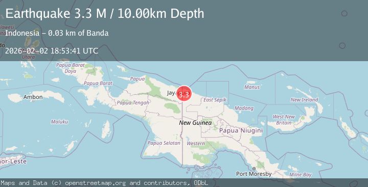
Earthquake New Guinea, Papua New Guinea
Mon, 02 Feb 2026 18:53:33 GMT
Time1 hour ago
Location
-3.4582, 141.4629
Depth
70.6 KM
Event Summary
A 3.2 magnitude earthquake struck on New Guinea, Papua New Guinea, at Mon, 02 Feb 2026 18:53:33 GMT. Depth: 70.567825km. Reviewed by BMKG seismologists, this minor quake occurred at a magnitude type of M.
Magnitude
3.2
M
Source
BMKG
Intensity
-
Agency Reports
1 Sources| Source | Magnitude | Depth | Time |
|---|---|---|---|
| BMKGPrimary | 3.2 | 71 km | 1 hour ago |
Earthquake Details
AutomaticEvent IDbmg2026chxm
Tsunami PotentialNo
Magnitude TypeM
Nearest Places
- Fine River2.1 km
- Yenabi2.8 km
- Fibuka River4.3 km
- Pieme5.0 km
- Itomi8.4 km
Comments
Join the discussion about this event.
Latest Earthquakes
2.3Mag
Minahassa Peninsula, Sulawesi
Time1 hour ago
Depth50.17 km
SourceBMKG (Automatic)
1.2Mag
11 km NE of Julian, CA
Time1 hour ago
Depth10.31 km
SourceUSGS (Automatic)
2.7Mag
MOLUCCA SEA
Time1 hour ago
Depth28.00 km
SourceBMKG (Automatic)
2.5Mag
Java, Indonesia
Time1 hour ago
Depth78.16 km
SourceBMKG (Automatic)
2.8Mag
WEST OF AUSTRALIA
Time2 hours ago
Depth10.00 km
SourceAUST (Automatic)
Nearby Earthquakes
3.5Mag
New Guinea, Papua New Guinea
Time3 days ago
Depth10.00 km
SourceBMKG (Automatic)
3.8Mag
New Guinea, Papua New Guinea
Time5 days ago
Depth10.00 km
SourceBMKG (Automatic)
3.7Mag
New Guinea, Papua New Guinea
Time4 hours ago
Depth116.14 km
SourceBMKG (Automatic)
3.7Mag
West Papua, Indonesia
Time6 days ago
Depth73.14 km
SourceBMKG (Automatic)
2.1Mag
West Papua, Indonesia
Time2 days ago
Depth10.00 km
SourceBMKG (Automatic)