Earthquake 10 km E of Ridgecrest, CA
Fri, 06 Feb 2026 10:03:41 GMT
Time2 days ago
Location
35.6350, -117.5675
Depth
0.9 KM
Event Summary
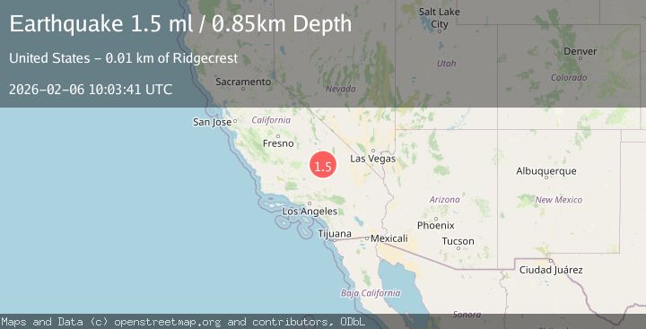
A 1.5 magnitude earthquake struck on 10 km E of Ridgecrest, CA, at Fri, 06 Feb 2026 10:03:41 GMT. Depth: 0.850000023841858km. Reviewed by USGS seismologists, this minor quake occurred at a magnitude type of ml.
Magnitude
1.5
ml
Source
USGS
Intensity
-
Agency Reports
1 Sources| Source | Magnitude | Depth | Time |
|---|---|---|---|
| USGSPrimary | 1.5 | 1 km | 2 days ago |
Earthquake Details
AutomaticEvent IDusgs_ci41392776
Tsunami PotentialNo
Magnitude Typeml
Nearest Places
- Bureau of Land Management - Salt Wells Fire Station2.8 km
- Lone Butte4.5 km
- Landmark Letter4.7 km
- Trona Water Pipeline4.9 km
- Salt Wells Valley6.2 km
Comments
Join the discussion about this event.
Latest Earthquakes
2.0Mag
WESTERN TEXAS
Time1 hour ago
Depth8.40 km
SourceTX (Automatic)
2.2Mag
Bali Sea
Time1 hour ago
Depth10.00 km
SourceBMKG (Automatic)
5.9Mag
POTOSI, BOLIVIA
Time1 hour ago
Depth105.00 km
SourceEMSC (Automatic)
1.8Mag
26 km SE of Susitna North, Alaska
Time1 hour ago
Depth23.30 km
SourceUSGS (Automatic)
1.2Mag
23 km N of Borrego Springs, CA
Time2 hours ago
Depth3.28 km
SourceUSGS (Automatic)
Nearby Earthquakes
1.1Mag
12 km ENE of Ridgecrest, CA
Time2 weeks ago
Depth6.28 km
SourceUSGS (Automatic)
1.3Mag
11 km ENE of Ridgecrest, CA
Time1 week ago
Depth3.18 km
SourceUSGS (Automatic)
0.7Mag
13 km ENE of Ridgecrest, CA
Time1 week ago
Depth7.22 km
SourceUSGS (Automatic)
1.4Mag
15 km ENE of Ridgecrest, CA
Time1 week ago
Depth7.69 km
SourceUSGS (Automatic)
1.6Mag
13 km ENE of Ridgecrest, CA
Time1 week ago
Depth7.78 km
SourceUSGS (Automatic)