Earthquake 25 km S of Malibu, CA
Fri, 06 Feb 2026 18:44:12 GMT
Time1 hour ago
Location
33.7798, -118.7957
Depth
5.8 KM
Event Summary
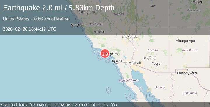
A 2.0 magnitude earthquake struck on 25 km S of Malibu, CA, at Fri, 06 Feb 2026 18:44:12 GMT. Depth: 5.84999990463257km. Reviewed by USGS seismologists, this minor quake occurred at a magnitude type of ml.
Magnitude
2.0
ml
Source
USGS
Intensity
-
Agency Reports
2 Sources| Source | Magnitude | Depth | Time |
|---|---|---|---|
| USGSPrimary | 2.0 | 6 km | 1 hour ago |
| SCSN | 2.0 | 6 km | 1 hour ago |
Earthquake Details
AutomaticEvent IDusgs_ci41393024
Tsunami PotentialNo
Magnitude Typeml
Nearest Places
- Santa Monica Basin4.8 km
- Dume Canyon20.8 km
- Santa Monica Canyon21.4 km
- Redondo Knoll23.7 km
- Redondo Canyon24.0 km
Comments
Join the discussion about this event.
Latest Earthquakes
2.7Mag
CRETE, GREECE
Time1 hour ago
Depth10.90 km
SourceNOA (Automatic)
1.8Mag
STRAIT OF GIBRALTAR
Time1 hour ago
Depth0.00 km
SourceIGN (Automatic)
2.5Mag
South of Sumbawa, Indonesia
Time1 hour ago
Depth14.00 km
SourceBMKG (Automatic)
3.3Mag
TARAPACA, CHILE
Time1 hour ago
Depth115.60 km
SourceCSN (Automatic)
2.8Mag
Flores Region, Indonesia
Time1 hour ago
Depth8.94 km
SourceBMKG (Automatic)
Nearby Earthquakes
2.0Mag
9 km SE of Malibu, CA
Time4 days ago
Depth12.52 km
SourceUSGS (Automatic)
1.5Mag
6 km SSE of Malibu Beach, CA
Time4 days ago
Depth12.80 km
SourceUSGS (Automatic)
1.6Mag
9 km NW of Malibu, CA
Time1 week ago
Depth12.06 km
SourceUSGS (Automatic)
2.1Mag
GREATER LOS ANGELES AREA, CALIF.
Time1 week ago
Depth2.90 km
SourceSCSN (Automatic)
1.7Mag
1 km SSE of Carson, CA
Time1 week ago
Depth7.81 km
SourceUSGS (Automatic)