Earthquake 14 km W of Mojave, CA
Fri, 06 Feb 2026 22:43:42 GMT
Time1 hour ago
Location
35.0460, -118.3283
Depth
-0.9 KM
Event Summary
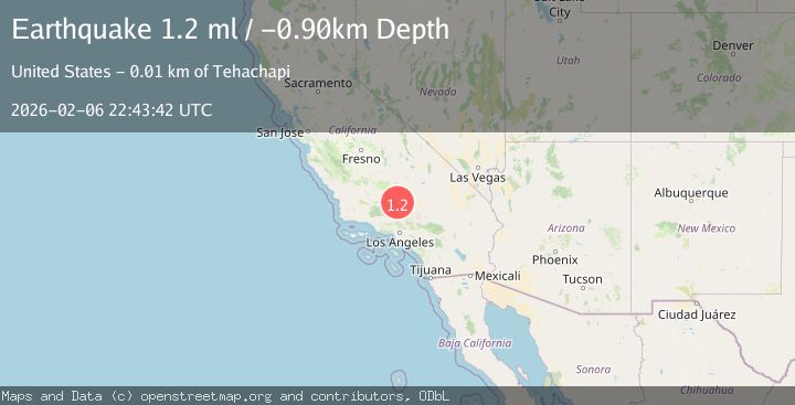
A 1.2 magnitude earthquake struck on 14 km W of Mojave, CA, at Fri, 06 Feb 2026 22:43:42 GMT. Depth: -0.899999976158142km. Reviewed by USGS seismologists, this minor quake occurred at a magnitude type of ml.
Magnitude
1.2
ml
Source
USGS
Intensity
-
Agency Reports
1 Sources| Source | Magnitude | Depth | Time |
|---|---|---|---|
| USGSPrimary | 1.2 | -1 km | 1 hour ago |
Earthquake Details
AutomaticEvent IDusgs_ci41393176
Tsunami PotentialNo
Magnitude Typeml
Nearest Places
- Oak Creek Canyon2.7 km
- Cameron Valley School (historical)3.3 km
- KTPI-FM (Tehachapi)5.0 km
- Oak Creek Pass5.7 km
- Cameron Canyon6.0 km
Comments
Join the discussion about this event.
Latest Earthquakes
3.0Mag
STRAIT OF GIBRALTAR
Time11 minutes ago
Depth13.40 km
SourceIGN (Automatic)
2.1Mag
66 km N of Petersville, Alaska
Time13 minutes ago
Depth114.50 km
SourceUSGS (Automatic)
1.4Mag
10 km SW of Clear Creek, Utah
Time31 minutes ago
Depth-3.42 km
SourceUSGS
3.1Mag
ICELAND REGION
Time31 minutes ago
Depth10.00 km
SourceIMO (Automatic)
2.6Mag
Sumba Region, Indonesia
Time32 minutes ago
Depth46.11 km
SourceBMKG (Automatic)
Nearby Earthquakes
1.3Mag
14 km W of Mojave, CA
Time1 week ago
Depth0.37 km
SourceUSGS (Automatic)
2.0Mag
14 km WSW of Mojave, CA
Time1 week ago
Depth7.99 km
SourceUSGS (Automatic)
1.2Mag
8 km SSW of Mojave, CA
Time4 days ago
Depth1.66 km
SourceUSGS (Automatic)
1.2Mag
7 km S of Mojave, CA
Time1 week ago
Depth-0.84 km
SourceUSGS (Automatic)
1.7Mag
6 km S of Mojave, CA
Time2 weeks ago
Depth7.87 km
SourceUSGS (Automatic)