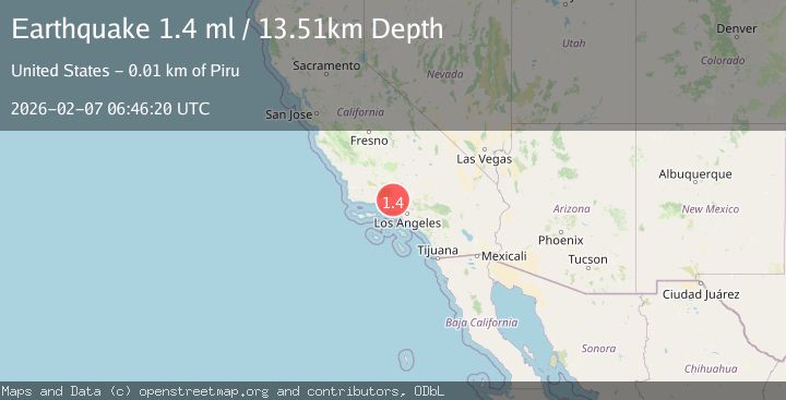
Earthquake 10 km NNW of Piru, CA
Sat, 07 Feb 2026 06:46:20 GMT
Time1 hour ago
Location
34.5022, -118.8267
Depth
13.5 KM
Event Summary
A 1.4 magnitude earthquake struck on 10 km NNW of Piru, CA, at Sat, 07 Feb 2026 06:46:20 GMT. Depth: 13.5100002288818km. Reviewed by USGS seismologists, this minor quake occurred at a magnitude type of ml.
Magnitude
1.4
ml
Source
USGS
Intensity
-
Agency Reports
1 Sources| Source | Magnitude | Depth | Time |
|---|---|---|---|
| USGSPrimary | 1.4 | 14 km | 1 hour ago |
Earthquake Details
AutomaticEvent IDusgs_ci41393344
Tsunami PotentialNo
Magnitude Typeml
Nearest Places
- Hole-in-the-Wall1.5 km
- Dominguez Ranch2.4 km
- Rodeo Flat3.0 km
- Rodeo Spring3.5 km
- Dominguez Campground3.5 km
Comments
Join the discussion about this event.
Latest Earthquakes
2.3Mag
Sulawesi, Indonesia
Time2 minutes ago
Depth2.35 km
SourceBMKG (Automatic)
0.4Mag
5 km WSW of Anza, CA
Time6 minutes ago
Depth5.98 km
SourceUSGS (Automatic)
1.6Mag
55 km SSE of King Salmon, Alaska
Time15 minutes ago
Depth5.00 km
SourceUSGS (Automatic)
2.3Mag
AZORES ISLANDS, PORTUGAL
Time20 minutes ago
Depth1.90 km
SourcePDA (Automatic)
1.0Mag
5 km WNW of Cobb, CA
Time24 minutes ago
Depth1.95 km
SourceUSGS (Automatic)
Nearby Earthquakes
2.2Mag
SOUTHERN CALIFORNIA
Time1 week ago
Depth11.90 km
SourceSCSN (Automatic)
1.1Mag
11 km N of Piru, CA
Time22 hours ago
Depth8.99 km
SourceUSGS (Automatic)
1.3Mag
11 km N of Piru, CA
Time1 week ago
Depth6.34 km
SourceUSGS (Automatic)
1.7Mag
9 km N of Fillmore, CA
Time1 week ago
Depth4.82 km
SourceUSGS (Automatic)
1.8Mag
14 km S of Frazier Park, CA
Time2 weeks ago
Depth15.39 km
SourceUSGS (Automatic)