Earthquake 7 km WSW of Beaumont, CA
Mon, 09 Feb 2026 05:10:04 GMT
Time1 hour ago
Location
33.8930, -117.0455
Depth
16.2 KM
Event Summary
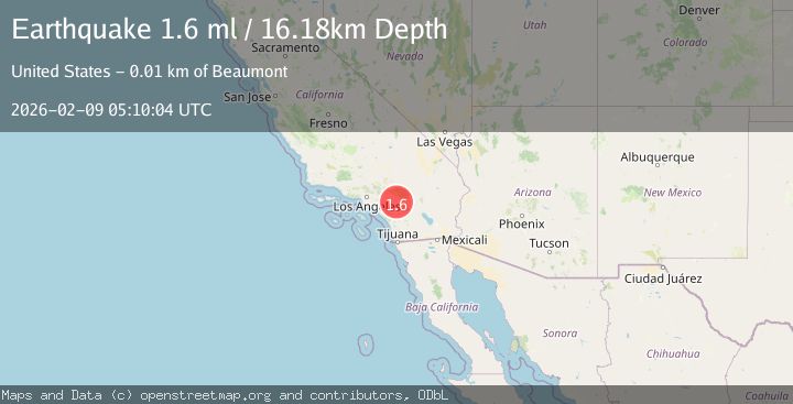
A 1.6 magnitude earthquake struck on 7 km WSW of Beaumont, CA, at Mon, 09 Feb 2026 05:10:04 GMT. Depth: 16.1800003051758km. Reviewed by USGS seismologists, this minor quake occurred at a magnitude type of ml.
Magnitude
1.6
ml
Source
USGS
Intensity
-
Agency Reports
1 Sources| Source | Magnitude | Depth | Time |
|---|---|---|---|
| USGSPrimary | 1.6 | 16 km | 1 hour ago |
Earthquake Details
AutomaticEvent IDusgs_ci41394272
Tsunami PotentialNo
Magnitude Typeml
Nearest Places
- Mount Eden0.3 km
- Eden Hot Springs0.9 km
- Eden1.9 km
- Quail Ranch Resort and Country Club2.8 km
- Motte Pit3.0 km
Comments
Join the discussion about this event.
Latest Earthquakes
0.5Mag
15 km WSW of Searles Valley, CA
Time7 minutes ago
Depth3.89 km
SourceUSGS (Automatic)
2.7Mag
CRETE, GREECE
Time14 minutes ago
Depth7.70 km
SourceNOA (Automatic)
3.6Mag
OFF W. COAST OF S. ISLAND, N.Z.
Time15 minutes ago
Depth5.00 km
SourceGNS (Automatic)
2.0Mag
40 km SW of Skwentna, Alaska
Time18 minutes ago
Depth109.00 km
SourceUSGS (Automatic)
1.8Mag
7 km SSW of Pāhala, Hawaii
Time20 minutes ago
Depth31.12 km
SourceUSGS (Automatic)
Nearby Earthquakes
1.5Mag
0 km S of Beaumont, CA
Time1 week ago
Depth16.89 km
SourceUSGS (Automatic)
1.3Mag
4 km ESE of Beaumont, CA
Time2 weeks ago
Depth4.70 km
SourceUSGS (Automatic)
1.4Mag
7 km NNE of Beaumont, CA
Time1 week ago
Depth8.31 km
SourceUSGS (Automatic)
2.1Mag
8 km NNE of Beaumont, CA
Time1 week ago
Depth6.78 km
SourceUSGS (Automatic)
1.3Mag
2 km NNW of Banning, CA
Time1 week ago
Depth9.62 km
SourceUSGS (Automatic)