Earthquake 18 km NNE of Indio, CA
Tue, 10 Feb 2026 03:21:44 GMT
Time1 hour ago
Location
33.8813, -116.1718
Depth
3.6 KM
Event Summary
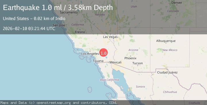
A 1.0 magnitude earthquake struck on 18 km NNE of Indio, CA, at Tue, 10 Feb 2026 03:21:44 GMT. Depth: 3.58km. Reviewed by USGS seismologists, this minor quake occurred at a magnitude type of ml.
Magnitude
1.0
ml
Source
USGS
Intensity
-
Agency Reports
1 Sources| Source | Magnitude | Depth | Time |
|---|---|---|---|
| USGSPrimary | 1.0 | 4 km | 1 hour ago |
Earthquake Details
AutomaticEvent IDusgs_ci41394808
Tsunami PotentialNo
Magnitude Typeml
Nearest Places
- Cabezon Indian Reservation2.4 km
- The Blue Cut4.1 km
- Hidden Gold Mine4.8 km
- Pushawalla Canyon5.1 km
- Keys View5.2 km
Comments
Join the discussion about this event.
Latest Earthquakes
3.2Mag
32 km NW of Nanwalek, Alaska
Time1 hour ago
Depth65.50 km
SourceUSGS (Automatic)
3.2Mag
SOUTHERN ALASKA
Time1 hour ago
Depth65.50 km
SourceAK (Automatic)
1.5Mag
5 km WNW of Cobb, CA
Time1 hour ago
Depth1.94 km
SourceUSGS (Automatic)
3.5Mag
MORO GULF, MINDANAO, PHILIPPINES
Time1 hour ago
Depth3.00 km
SourcePIVS (Automatic)
2.1Mag
Sumbawa Region, Indonesia
Time1 hour ago
Depth100.90 km
SourceBMKG
Nearby Earthquakes
1.6Mag
18 km NNE of Indio, CA
Time1 week ago
Depth3.99 km
SourceUSGS (Automatic)
1.8Mag
18 km NNE of Indio, CA
Time5 days ago
Depth3.69 km
SourceUSGS (Automatic)
1.0Mag
18 km NNE of Indio, CA
Time1 week ago
Depth4.56 km
SourceUSGS (Automatic)
1.5Mag
18 km NNE of Indio, CA
Time2 weeks ago
Depth4.65 km
SourceUSGS (Automatic)
1.5Mag
18 km NNE of Indio, CA
Time1 week ago
Depth3.26 km
SourceUSGS (Automatic)