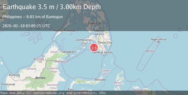
Earthquake MORO GULF, MINDANAO, PHILIPPINES
Tue, 10 Feb 2026 03:09:25 GMT
Time3 hours ago
Location
6.5600, 123.7600
Depth
3.0 KM
Event Summary
A 3.5 magnitude earthquake struck on MORO GULF, MINDANAO, PHILIPPINES, at Tue, 10 Feb 2026 03:09:25 GMT. Depth: 3km. Reviewed by PIVS seismologists, this minor quake occurred at a magnitude type of m.
Magnitude
3.5
m
Source
PIVS
Intensity
-
Agency Reports
1 Sources| Source | Magnitude | Depth | Time |
|---|---|---|---|
| PIVSPrimary | 3.5 | 3 km | 3 hours ago |
Earthquake Details
AutomaticEvent IDemsc_PIVS_20260210_0000045
Tsunami PotentialNo
Magnitude Typem
Nearest Places
- Donaung Shoals25.2 km
- Nara Point29.0 km
- Pidtaguinan Point29.3 km
- Huidobro Reef29.8 km
- Point Pitas29.9 km
Comments
Join the discussion about this event.
Latest Earthquakes
3.4Mag
OFF COAST OF COSTA RICA
Time2 hours ago
Depth21.00 km
SourceINET (Automatic)
1.5Mag
6 km WNW of Cobb, CA
Time2 hours ago
Depth1.73 km
SourceUSGS (Automatic)
2.0Mag
82 km ENE of Ugashik, Alaska
Time2 hours ago
Depth119.60 km
SourceUSGS (Automatic)
3.2Mag
32 km NW of Nanwalek, Alaska
Time2 hours ago
Depth65.50 km
SourceUSGS (Automatic)
3.2Mag
SOUTHERN ALASKA
Time2 hours ago
Depth65.50 km
SourceAK (Automatic)
Nearby Earthquakes
3.3Mag
MORO GULF, MINDANAO, PHILIPPINES
Time1 week ago
Depth6.00 km
SourcePIVS (Automatic)
3.2Mag
MORO GULF, MINDANAO, PHILIPPINES
Time1 week ago
Depth10.00 km
SourcePIVS (Automatic)
3.0Mag
MORO GULF, MINDANAO, PHILIPPINES
Time2 weeks ago
Depth9.00 km
SourcePIVS (Automatic)
4.6Mag
MORO GULF, MINDANAO, PHILIPPINES
Time1 week ago
Depth6.00 km
SourcePIVS (Automatic)
3.4Mag
MORO GULF, MINDANAO, PHILIPPINES
Time2 weeks ago
Depth22.00 km
SourcePIVS (Automatic)