Earthquake 5 km N of Little Lake, CA
Fri, 13 Feb 2026 22:03:50 GMT
Time5 days ago
Location
35.9847, -117.9163
Depth
2.3 KM
Event Summary
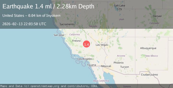
A 1.4 magnitude earthquake struck on 5 km N of Little Lake, CA, at Fri, 13 Feb 2026 22:03:50 GMT. Depth: 2.27999997138977km. Reviewed by USGS seismologists, this minor quake occurred at a magnitude type of ml.
Magnitude
1.4
ml
Source
USGS
Intensity
-
Agency Reports
1 Sources| Source | Magnitude | Depth | Time |
|---|---|---|---|
| USGSPrimary | 1.4 | 2 km | 5 days ago |
Earthquake Details
AutomaticEvent IDusgs_ci41397552
Tsunami PotentialNo
Magnitude Typeml
Nearest Places
- Red Hill0.3 km
- Coso1.4 km
- Fossil Falls1.8 km
- Little Lake Canyon4.0 km
- Fine Canyon4.3 km
Comments
Join the discussion about this event.
Latest Earthquakes
1.7Mag
Alaska Peninsula
Time1 minute ago
Depth0.00 km
SourceVYT (Automatic)
1.4Mag
Kenai Peninsula, Alaska
Time5 minutes ago
Depth1.95 km
SourceVYT (Automatic)
3.1Mag
Northern Sumatra, Indonesia
Time5 minutes ago
Depth14.69 km
SourceBMKG
1.9Mag
Channel Islands region, California
Time6 minutes ago
Depth2.81 km
SourceVYT (Automatic)
3.3Mag
Southern Alaska
Time12 minutes ago
Depth13.06 km
SourceVYT (Automatic)
Nearby Earthquakes
1.2Mag
5 km N of Little Lake, CA
Time3 days ago
Depth2.73 km
SourceUSGS (Automatic)
0.7Mag
5 km NNW of Little Lake, CA
Time5 days ago
Depth2.38 km
SourceUSGS (Automatic)
1.4Mag
5 km N of Little Lake, CA
Time2 weeks ago
Depth2.51 km
SourceUSGS (Automatic)
2.6Mag
Central California
Time5 days ago
Depth0.00 km
SourceVYT (Automatic)
3.0Mag
CENTRAL CALIFORNIA
Time8 years ago
Depth2.00 km
SourceNEIC (Automatic)