Earthquake 5 km NNW of Little Lake, CA
Sat, 14 Feb 2026 01:48:44 GMT
Time5 days ago
Location
35.9817, -117.9180
Depth
2.4 KM
Event Summary
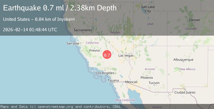
A 0.7 magnitude earthquake struck on 5 km NNW of Little Lake, CA, at Sat, 14 Feb 2026 01:48:44 GMT. Depth: 2.38km. Reviewed by USGS seismologists, this minor quake occurred at a magnitude type of ml.
Magnitude
0.7
ml
Source
USGS
Intensity
-
Agency Reports
1 Sources| Source | Magnitude | Depth | Time |
|---|---|---|---|
| USGSPrimary | 0.7 | 2 km | 5 days ago |
Earthquake Details
AutomaticEvent IDusgs_ci41397688
Tsunami PotentialNo
Magnitude Typeml
Nearest Places
- Red Hill0.6 km
- Coso1.1 km
- Fossil Falls1.6 km
- Little Lake Canyon3.6 km
- Little Lake4.0 km
Comments
Join the discussion about this event.
Latest Earthquakes
2.8Mag
Sumba Region, Indonesia
Time4 minutes ago
Depth8.80 km
SourceBMKG
2.1Mag
Tarapaca, Chile
Time5 minutes ago
Depth115.11 km
SourceVYT (Automatic)
1.7Mag
35 km SSE of King Salmon, Alaska
Time6 minutes ago
Depth9.10 km
SourceUSGS (Automatic)
2.1Mag
Sweden
Time10 minutes ago
Depth0.00 km
SourceVYT (Automatic)
2.2Mag
Minahassa Peninsula, Sulawesi
Time11 minutes ago
Depth24.60 km
SourceBMKG
Nearby Earthquakes
1.4Mag
5 km N of Little Lake, CA
Time5 days ago
Depth2.28 km
SourceUSGS (Automatic)
1.2Mag
5 km N of Little Lake, CA
Time3 days ago
Depth2.73 km
SourceUSGS (Automatic)
1.4Mag
5 km N of Little Lake, CA
Time2 weeks ago
Depth2.51 km
SourceUSGS (Automatic)
2.6Mag
Central California
Time5 days ago
Depth0.00 km
SourceVYT (Automatic)
3.0Mag
CENTRAL CALIFORNIA
Time8 years ago
Depth2.00 km
SourceNEIC (Automatic)