Earthquake 11 km NE of Yucaipa, CA
Fri, 20 Feb 2026 07:52:15 GMT
Time2 hours ago
Location
34.1142, -116.9672
Depth
7.7 KM
Event Summary
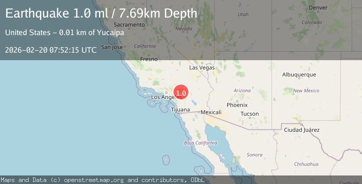
A 1.0 magnitude earthquake struck on 11 km NE of Yucaipa, CA, at Fri, 20 Feb 2026 07:52:15 GMT. Depth: 7.69km. Reviewed by USGS seismologists, this minor quake occurred at a magnitude type of ml.
Magnitude
1.0
ml
Source
USGS
Intensity
-
Agency Reports
1 Sources| Source | Magnitude | Depth | Time |
|---|---|---|---|
| USGSPrimary | 1.0 | 8 km | 2 hours ago |
Earthquake Details
AutomaticEvent IDusgs_ci41400296
Tsunami PotentialNo
Magnitude Typeml
Nearest Places
- Mountain Home Campground1.1 km
- East Fork Mountain Home Creek1.9 km
- Monkeyface Falls2.0 km
- Frustration Creek2.0 km
- Glen Martin Creek2.1 km
Comments
Join the discussion about this event.
Latest Earthquakes
4.2Mag
Kepulauan Talaud, Indonesia
Time7 minutes ago
Depth85.57 km
SourceVYT (Automatic)
2.0Mag
Antofagasta, Chile
Time10 minutes ago
Depth127.32 km
SourceVYT (Automatic)
2.0Mag
Southern California
Time19 minutes ago
Depth14.40 km
SourceVYT (Automatic)
3.0Mag
Potosi, Bolivia
Time20 minutes ago
Depth188.11 km
SourceVYT (Automatic)
1.3Mag
9 km WNW of The Geysers, CA
Time21 minutes ago
Depth2.36 km
SourceUSGS (Automatic)
Nearby Earthquakes
2.1Mag
SOUTHERN CALIFORNIA
Time1 month ago
Depth7.00 km
SourceSCSN (Automatic)
0.7Mag
11 km NNE of Yucaipa, CA
Time1 week ago
Depth6.32 km
SourceUSGS (Automatic)
3.0Mag
SOUTHERN CALIFORNIA
Time3 months ago
Depth10.00 km
SourceNEIC (Automatic)
3.0Mag
SOUTHERN CALIFORNIA
Time6 years ago
Depth5.00 km
SourceNEIR (Automatic)
2.2Mag
Southern California
Time1 week ago
Depth16.97 km
SourceVYT (Automatic)