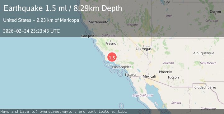
Earthquake 26 km SW of Maricopa, CA
Tue, 24 Feb 2026 23:23:43 GMT
Time1 hour ago
Location
34.9023, -119.6143
Depth
8.3 KM
Event Summary
A 1.5 magnitude earthquake struck on 26 km SW of Maricopa, CA, at Tue, 24 Feb 2026 23:23:43 GMT. Depth: 8.28999996185303km. Reviewed by USGS seismologists, this minor quake occurred at a magnitude type of ml.
Magnitude
1.5
ml
Source
USGS
Intensity
-
Agency Reports
1 Sources| Source | Magnitude | Depth | Time |
|---|---|---|---|
| USGSPrimary | 1.5 | 8 km | 1 hour ago |
Earthquake Details
AutomaticEvent IDusgs_ci41403088
Tsunami PotentialNo
Magnitude Typeml
Nearest Places
- 0.5 km
- 1.0 km
- 3.3 km
- 3.7 km
- 3.7 km
Comments
Join the discussion about this event.
Latest Earthquakes
1.4Mag
Southern Alaska
Time2 minutes ago
Depth16.24 km
SourceVYT (Automatic)
2.9Mag
Antofagasta, Chile
Time2 minutes ago
Depth135.62 km
SourceVYT (Automatic)
2.1Mag
Sweden
Time4 minutes ago
Depth10.00 km
SourceVYT (Automatic)
2.4Mag
Slovenia-Croatia border region
Time5 minutes ago
Depth60.30 km
SourceVYT (Automatic)
2.0Mag
Poland
Time8 minutes ago
Depth2.32 km
SourceVYT (Automatic)
Nearby Earthquakes
1.6Mag
25 km SW of Maricopa, CA
Time2 weeks ago
Depth7.92 km
SourceUSGS (Automatic)
1.3Mag
25 km WSW of Maricopa, CA
Time0 months ago
Depth2.92 km
SourceUSGS (Automatic)
3.0Mag
Central California
Time17 hours ago
Depth11.47 km
SourceVYT (Automatic)
3.0Mag
CENTRAL CALIFORNIA
Time3 years ago
Depth5.00 km
SourceNEIC (Automatic)
1.6Mag
15 km ESE of Maricopa, CA
Time3 weeks ago
Depth0.42 km
SourceUSGS (Automatic)